Palm Beach International Airport Map
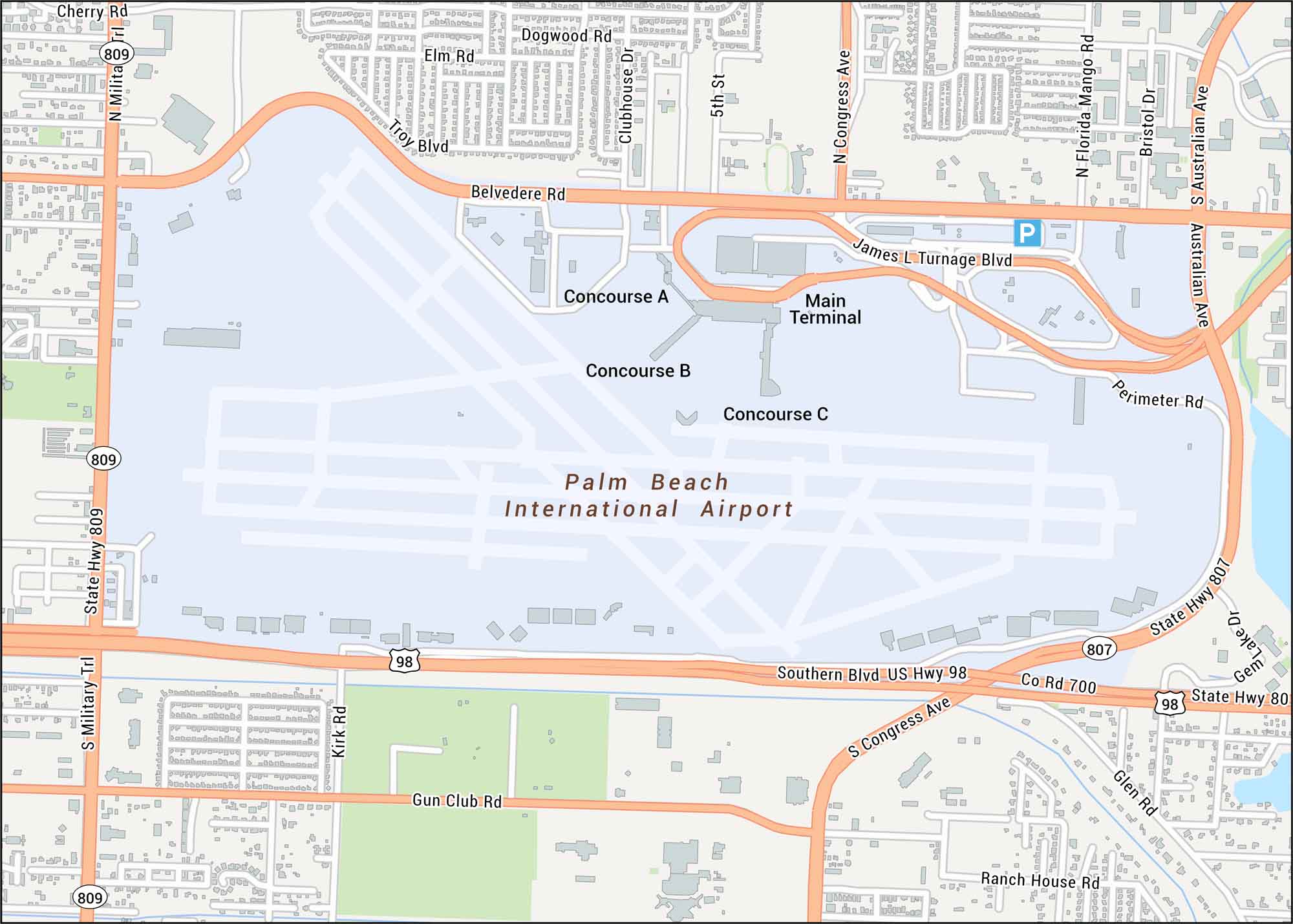
Palm Beach International Airport is laid out here with its runways, terminal loop, and nearby highways. Our road map keeps things simple for this airport that’s located just west of the coast.
Map Information
On the Map
Interstates/Highways: US Hwy 98
Major Roads: Southern Blvd, Belvedere Rd, Congress Ave, Australian Ave, Military Trl, State Hwy 809, State Hwy 807, James L Turnage Blvd, Perimeter Rd, Gun Club Rd, Ranch House Rd, Glen Rd, Gem Lake Dr, Kirk Rd, Troy Blvd, Elm Rd, Dogwood Rd, Clubhouse Dr, Florida Mango Rd, Bristol Dr
Other Landmarks: Main Terminal, Concourse A, Concourse B, Concourse C
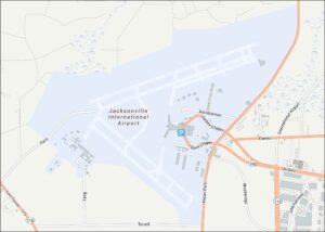
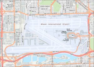
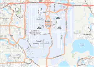
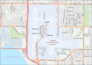
Tourist Maps in Florida
Discover all the prime locations with our tourist maps.