Miami International Airport Map
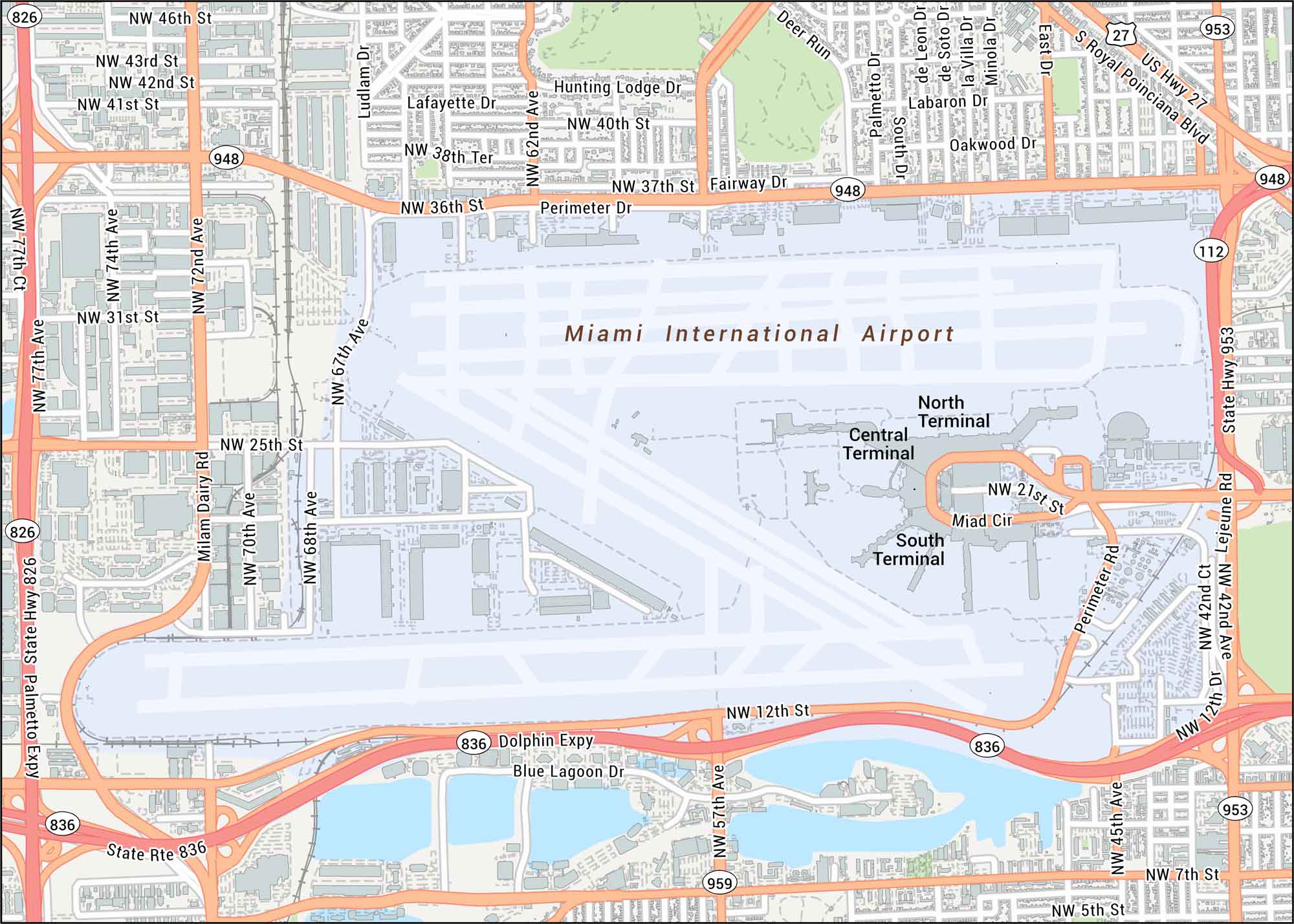
Get around Miami International Airport using our map that shows terminal wings and major access routes. This airportt sits just west of Miami to the north of Dolphin Expressway.
Map Information
On the Map
Interstates/Highways: State Rte 836, US Hwy 27
Major Roads: Dolphin Expy, Palmetto Expy, Lejeune Rd, State Hwy 953, NW 36th St, NW 25th St, NW 12th St, NW 7th St, NW 5th St, NW 72nd Ave, NW 67th Ave, NW 57th Ave, NW 42nd Ave, Milam Dairy Rd, Ludlam Dr, Perimeter Dr, Miad Cir, Hunting Lodge Dr, Fairway Dr, Blue Lagoon Dr
Rivers/Lakes: Blue Lagoon
Parks/Forests: Deer Run
Other Landmarks: North Terminal, Central Terminal, South Terminal
Tourist Maps in Florida
Discover all the prime locations with our tourist maps.