Tampa International Airport Map
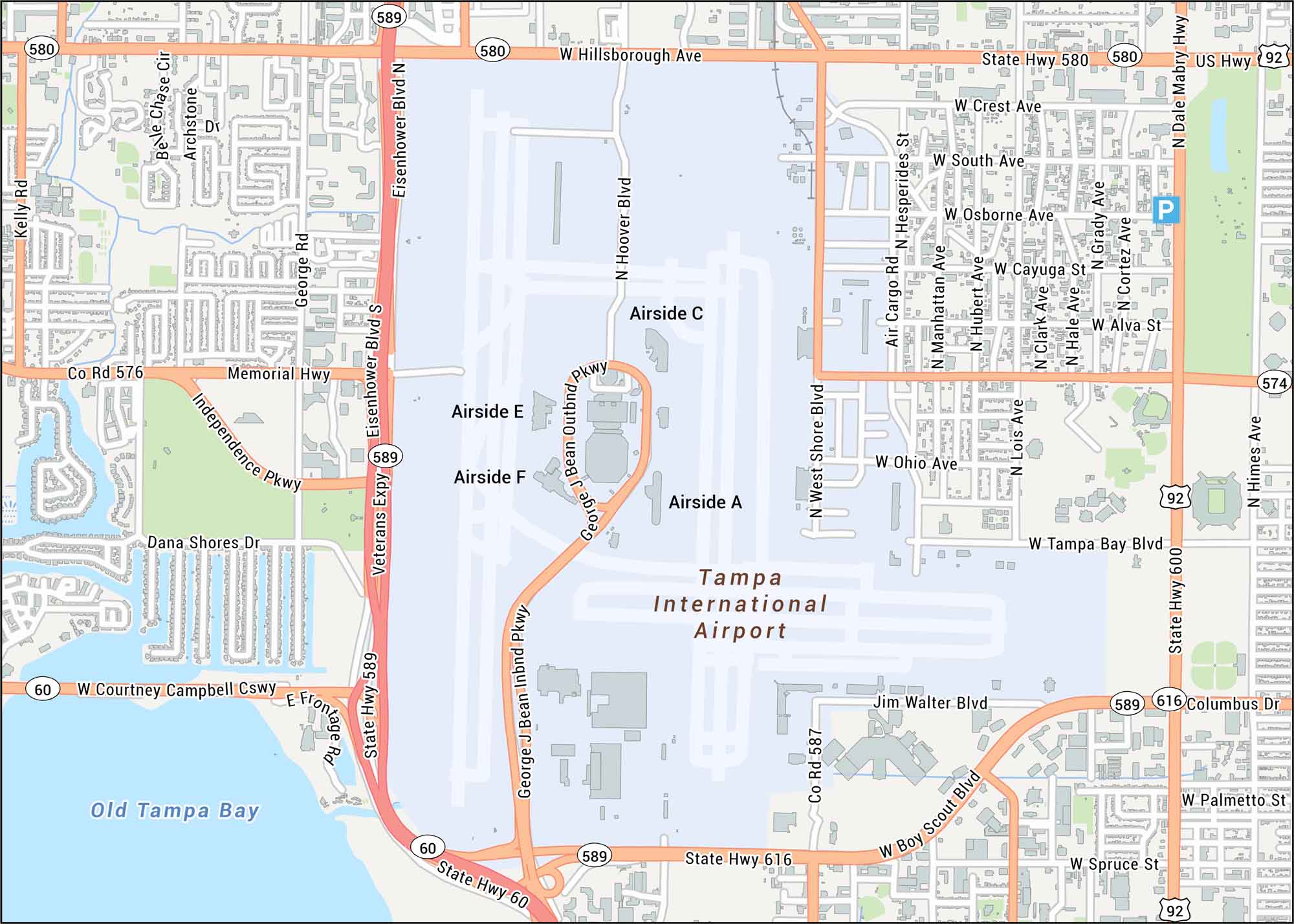
Our Tampa International Airport map highlights the main terminal, four airsides, and runways. Get oriented with roads like George J. Bean Parkway, Memorial Highway, and State Highway 616. Tampa International sits on Florida’s Gulf Coast, serving the greater Tampa Bay metropolitan area.
Map Information
On the Map
Interstates/Highways: US Hwy 92
Major Roads: Veterans Expy, State Hwy 589, State Hwy 580, W Hillsborough Ave, W Courtney Campbell Cswy, W Tampa Bay Blvd, W Spruce St, W Columbus Dr, Memorial Hwy, Independence Pkwy, George J Bean Pkwy, N Dale Mabry Hwy, N West Shore Blvd, N Himes Ave, Eisenhower Blvd, N Hoover Blvd, N Lois Ave, N Manhattan Ave, N Hubert Ave, N Grady Ave
Rivers/Lakes: Old Tampa Bay
Other Landmarks: Airside A, Airside C, Airside E, Airside F, Jim Walter Blvd
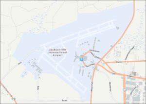
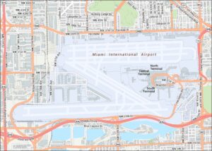
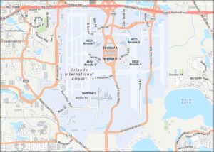
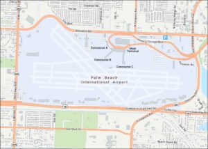
Tourist Maps in Florida
Discover all the prime locations with our tourist maps.