South Dakota County Map
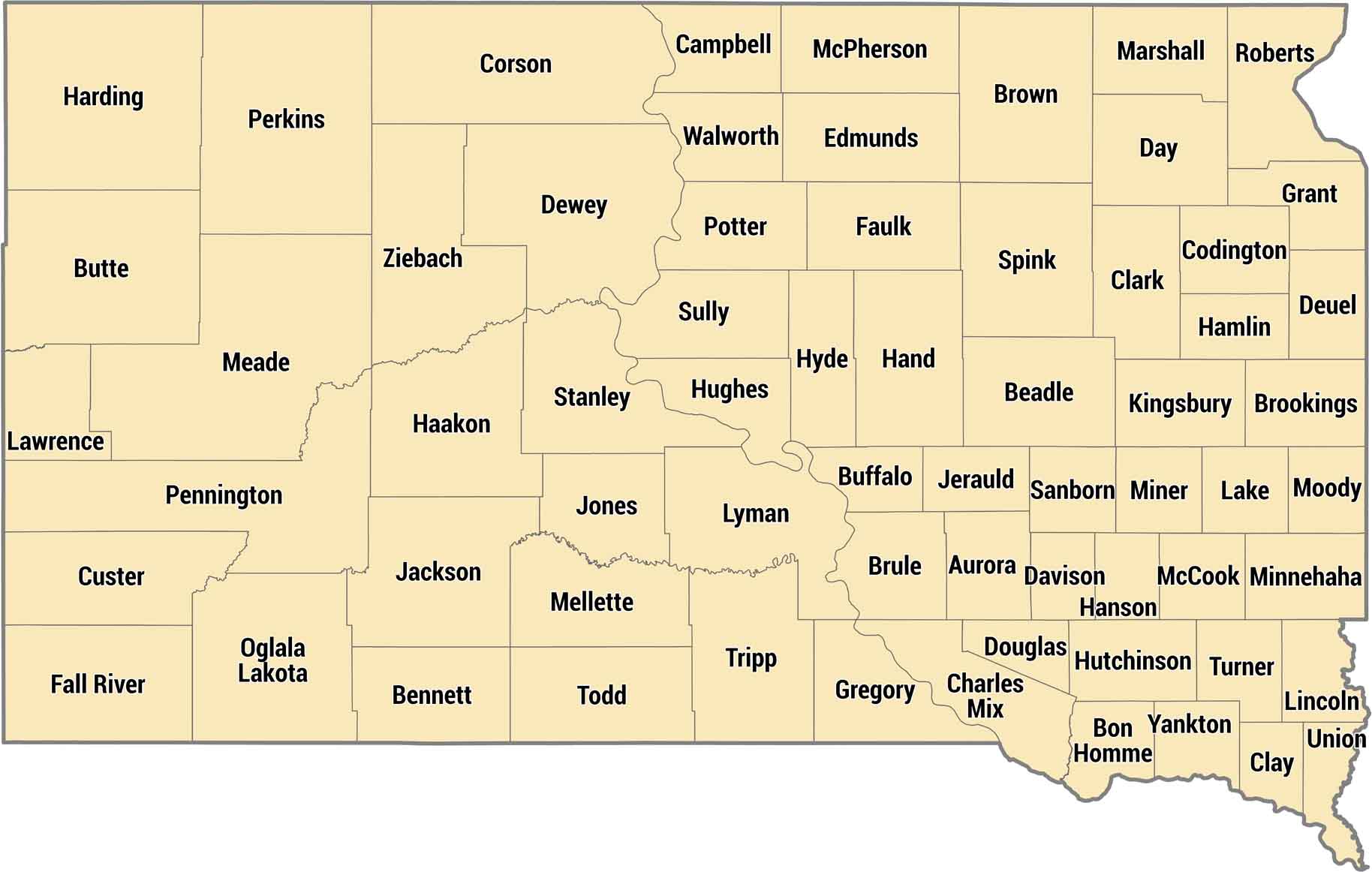
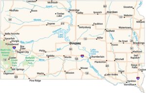
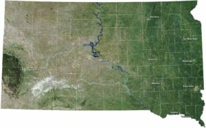
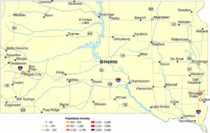
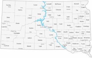
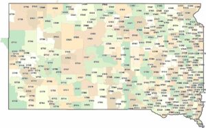
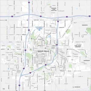
Sixty-six counties split South Dakota between farmland east of the Missouri River and ranch country out west. Minnehaha County has Sioux Falls in the southeast corner. Cross the river and counties get bigger, emptier, with the Badlands and Black Hills dominating the landscape.
Map Information
South Dakota State Maps
View maps from the prairies to the Black Hills.
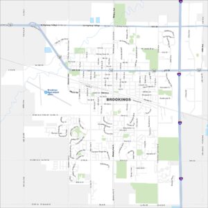
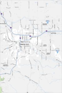
City Maps of South Dakota
Here’s where South Dakota comes into focus

