Arts District Map, Dallas
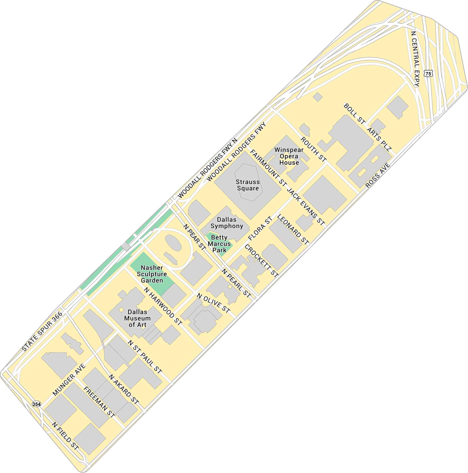
Our Dallas Arts District map focuses on the stretch near Klyde Warren Park. You’ll see the museums, concert halls, and nearby city streets. It’s a neighborhood filled of culture right in the middle of downtown.
Map Information
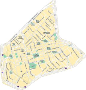
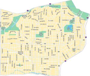
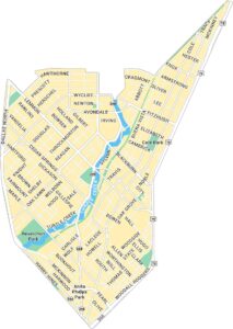
Dallas Neighborhood Maps
See our neighborhood maps for a closer look of the city.
On the Map
Interstates/Highways: US Hwy 75, Woodall Rodgers Fwy, State Spur 366, US Hwy 354 Major Roads: Ross Ave, Flora St, Olive St, Pearl St, Harwood St, St Paul St, Akard St, Field St, Munger Ave, Freeman St, Jack Evans St, Leonard St, Crockett St, Routh St, Boll St, Arts Plz, Fairmount St Parks: Betty Marcus Park, Nasher Sculpture Garden Landmarks: Winspear Opera House, Dallas Symphony, Strauss Square, Dallas Museum of ArtCity Maps of Texas
Explore our map collection of Texas cities.


