Downtown Denver Map
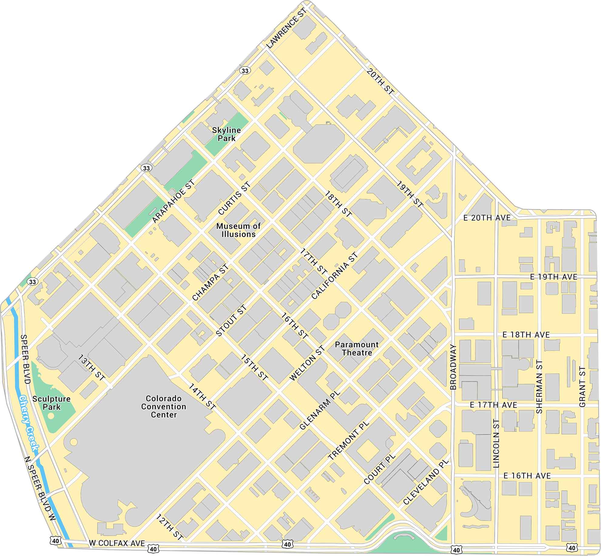
Here’s our map of Downtown Denver with a view of the city’s core and surrounding neighborhoods. We’ve marked buildings, parks, major roads, and highways.
Map Information
On the Map
Interstates/Highways: US Hwy 40, State Rte 33 Major Roads: Speer Blvd, Colfax Ave, Broadway, 20th St, 14th St, 15th St, 16th St, 17th St, 18th St, 19th St, 13th St, 12th St, Lawrence St, Arapahoe St, Curtis St, Champa St, Stout St, California St, Welton St, Glenarm Pl Major Rivers: Cherry Creek Parks: Sculpture Park, Skyline Park Landmarks: Colorado Convention Center, Museum of Illusions, Paramount TheatreDenver Neighborhood Maps
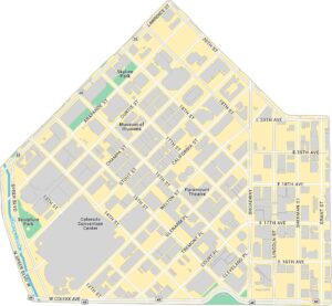
See our neighborhood maps for a closer look of the city.
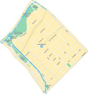
Colorado City Maps
Here are maps of Colorado’s urban areas


