Downtown Knoxville Map
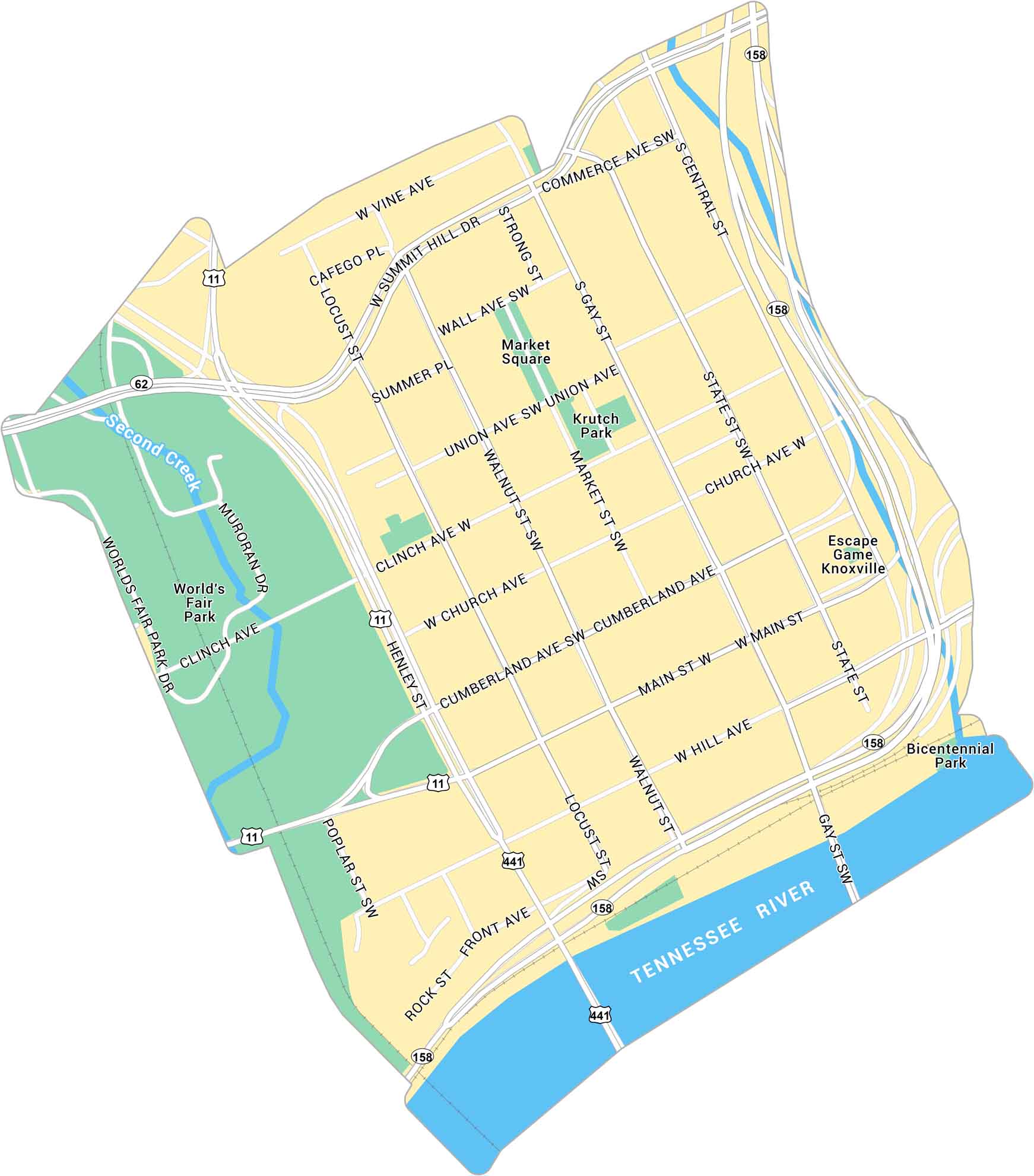
Our map of Downtown Knoxville shows the area around Market Square and the Tennessee River. It lays out main streets, parks, and routes.
Map Information
On the Map
Interstates/Highways: US Hwy 11, US Hwy 441, State Rte 158, State Rte 62 Major Roads: Henley St, Gay St, Main St, Summit Hill Dr, Cumberland Ave, Clinch Ave, Church Ave, Front Ave, Hill Ave, Walnut St, Locust St, Market St, State St, Central St, Commerce Ave, Vine Ave, Union Ave, Wall Ave, Summer Pl, World’s Fair Park Dr Major Rivers: Tennessee River, Second Creek Parks: World’s Fair Park, Krutch Park, Bicentennial Park Landmarks: Market SquareCity Maps of Tennessee
Explore our Tennessee map collection


