Downtown Orlando Map
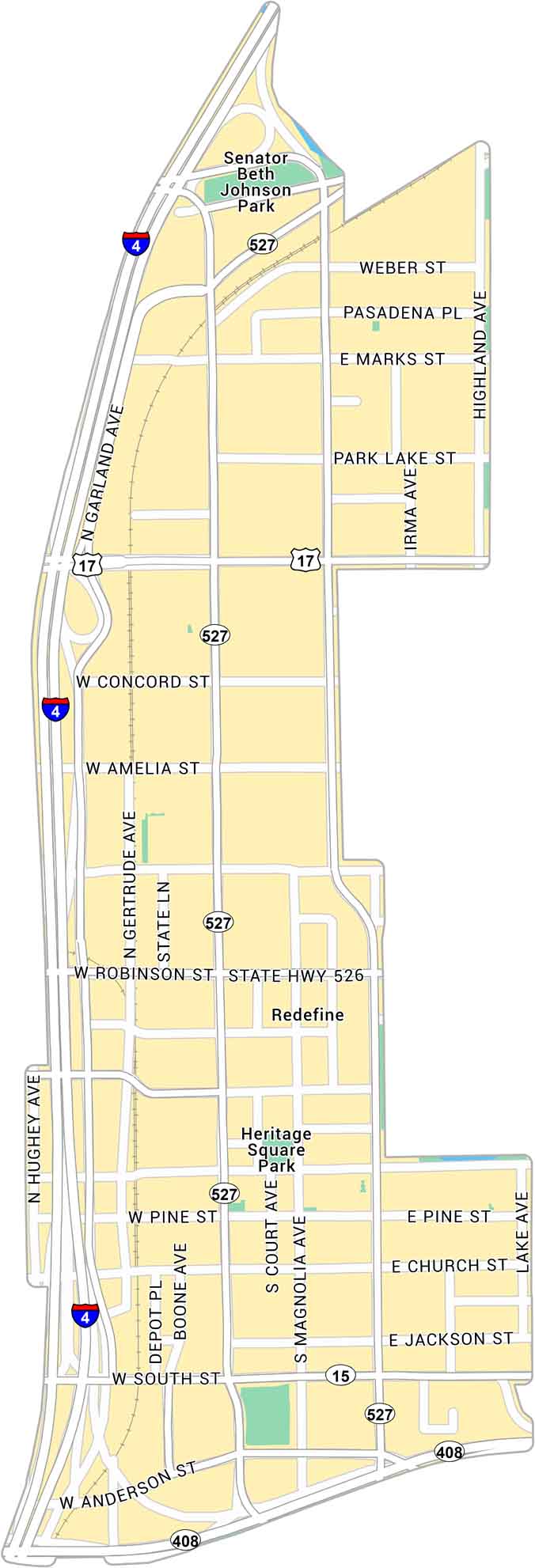
Explore Downtown Orlando with our map, showing the area around Lake Eola and Interstate 4. It lays out main streets, parks, and major highways.
Map Information
On the Map
Interstates/Highways: I-4, US Hwy 17, State Hwy 408, State Hwy 527, State Hwy 526, State Hwy 15 Major Roads: Garland Ave, Orange Ave, Magnolia Ave, Robinson St, South St, Anderson St, Amelia St, Pine St, Jackson St, Church St, Concord St, Weber St, Marks St, Park Lake St, Highland Ave, Hughey Ave, Gertrude Ave, Court Ave, Lake Ave, Pasadena Pl Parks: Senator Beth Johnson Park, Heritage Square ParkFlorida City Maps
Chart your course through Miami and Florida’s cities


