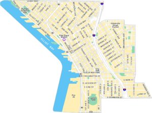
Downtown Seattle Map
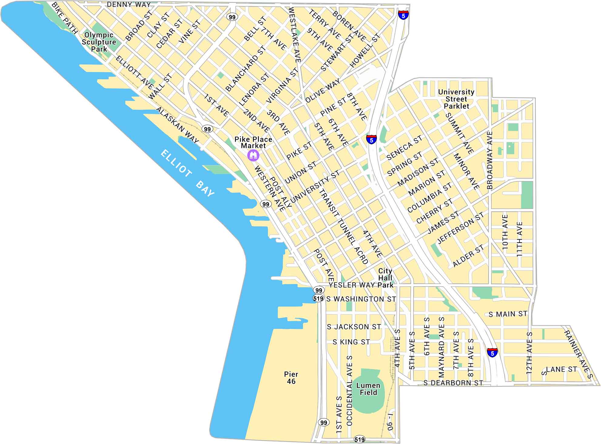
Our map of Downtown Seattle shows the stretch between Pike Place Market and Elliott Bay. It outlines the waterfront, steep streets, and nearby landmarks.
Map Information
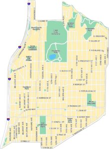
Seattle Neighborhood Maps
See our neighborhood maps for a closer look of the city.
On the Map
Interstates/Highways: I-5, I-90, US Hwy 99, State Rte 519 Major Roads: Alaskan Way, Madison St, Denny Way, James St, Yesler Way, Jackson St, Dearborn St, Broadway, 4th Ave, 2nd Ave, 1st Ave, Pike St, Pine St, University St, Seneca St, Columbia St, Western Ave, Boren Ave, Westlake Ave, Stewart St Bays/Rivers: Elliot Bay Parks: Olympic Sculpture Park, City Hall Park, Yesler Way Park, University Street Parklet Landmarks: Pike Place Market, Lumen Field, Transit Tunnel Acrd, Pier 46City Maps of Washington
Check out our city maps of Washington


