Downtown Tampa Map
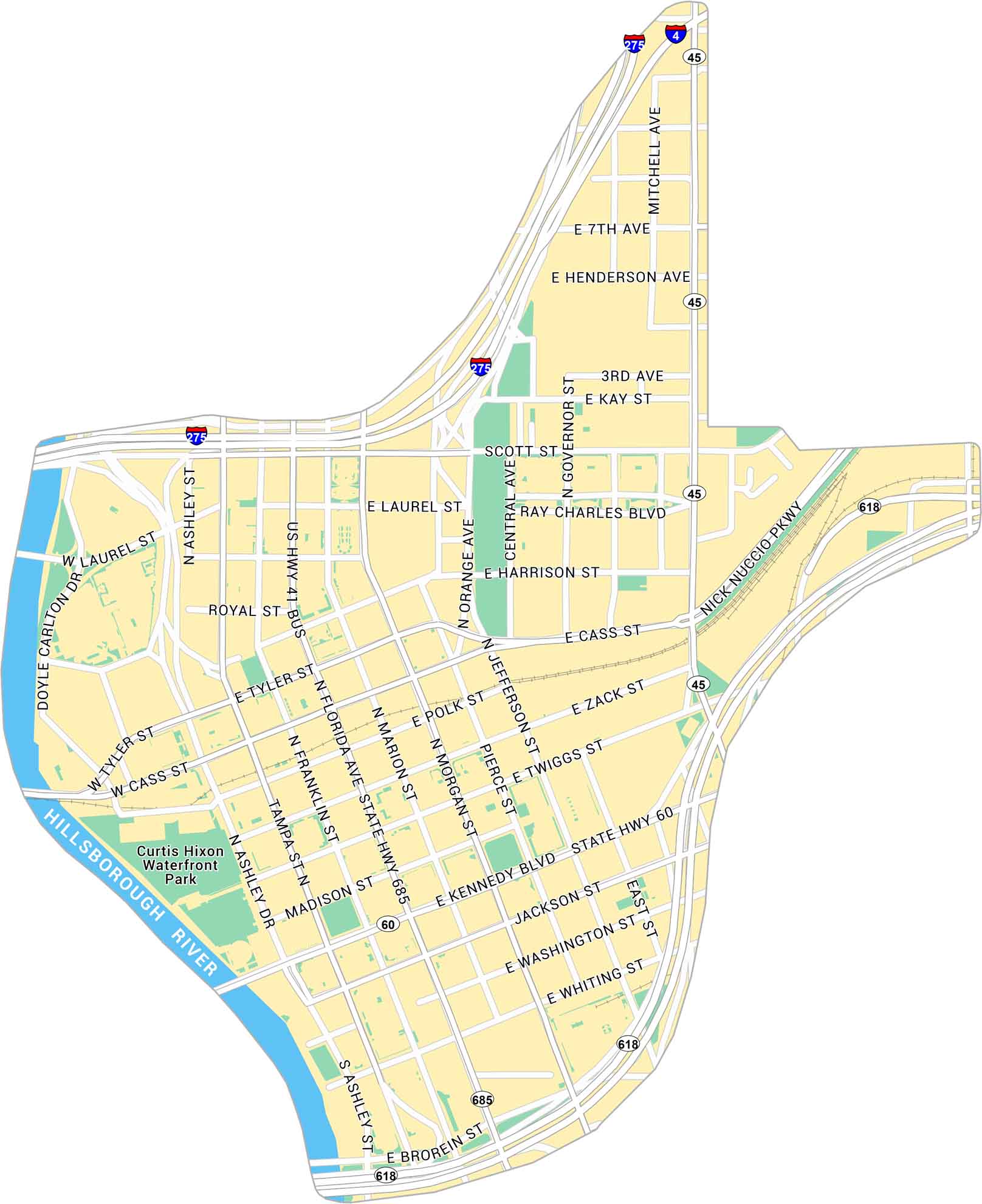
Our map of Downtown Tampa shows the city’s core along the Hillsborough River and the bay. It outlines main streets, the Riverwalk, and nearby parks. It’s a growing center with water on nearly every side.
Map Information
On the Map
Interstates/Highways: I-275, I-4, State Hwy 60, State Hwy 618, State Hwy 685, State Rte 45 Major Roads: Kennedy Blvd, Ashley Dr, Florida Ave, Cass St, Scott St, Laurel St, Tyler St, Zack St, Twiggs St, Madison St, Jackson St, Washington St, Whiting St, Brorein St, Nick Nuccio Pkwy, Ray Charles Blvd, Jefferson St, Morgan St, Marion St, Franklin St Major Rivers: Hillsborough River Parks: Curtis Hixon Waterfront ParkFlorida City Maps
Chart your course through Miami and Florida’s cities


