Forest Hills Map, New York
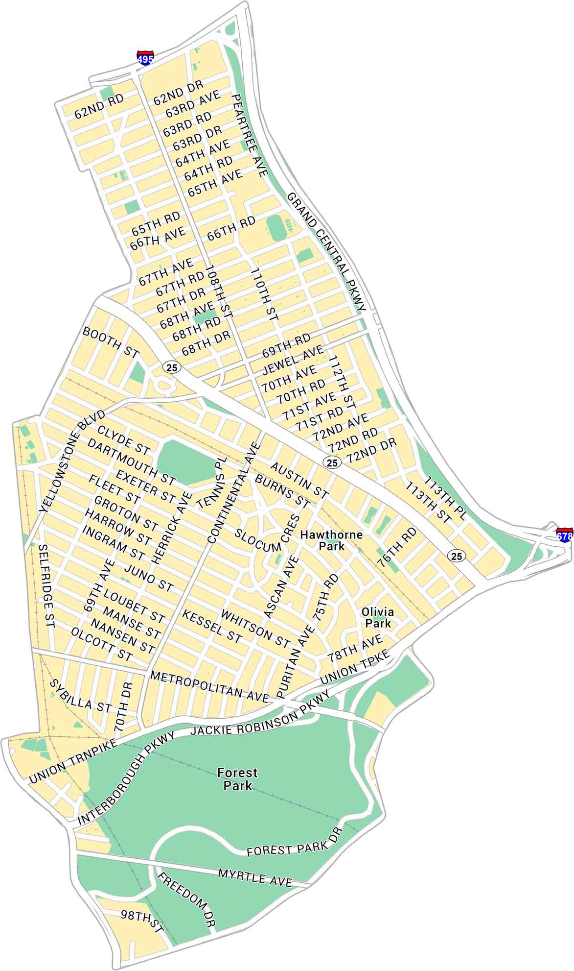
Our map of Forest Hills shows the Queens neighborhood just north of Forest Park. We show you the main streets, parks, and highways.
Map Information
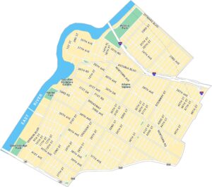
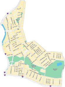
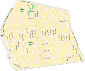
Queens Neighborhood Maps
See our neighborhood maps for a closer look of the city.
On the Map
Interstates/Highways: I-495, I-678 Major Roads: Queens Blvd, Jackie Robinson Pkwy, Metropolitan Ave, Yellowstone Blvd, Union Tpke, Grand Central Pkwy, Interborough Pkwy, Continental Ave, Ascan Ave, Burns St, Austin St, 71st Ave, 69th Ave, Jewel Ave, 108th St, 63rd Rd, Fleet St, 75th Rd, Selfridge St, 73rd Ave Parks: Forest Park, Olivia Park, Hawthorne ParkCity Maps of New York
Here are the city maps that define New York


