Map of University Place, Washington
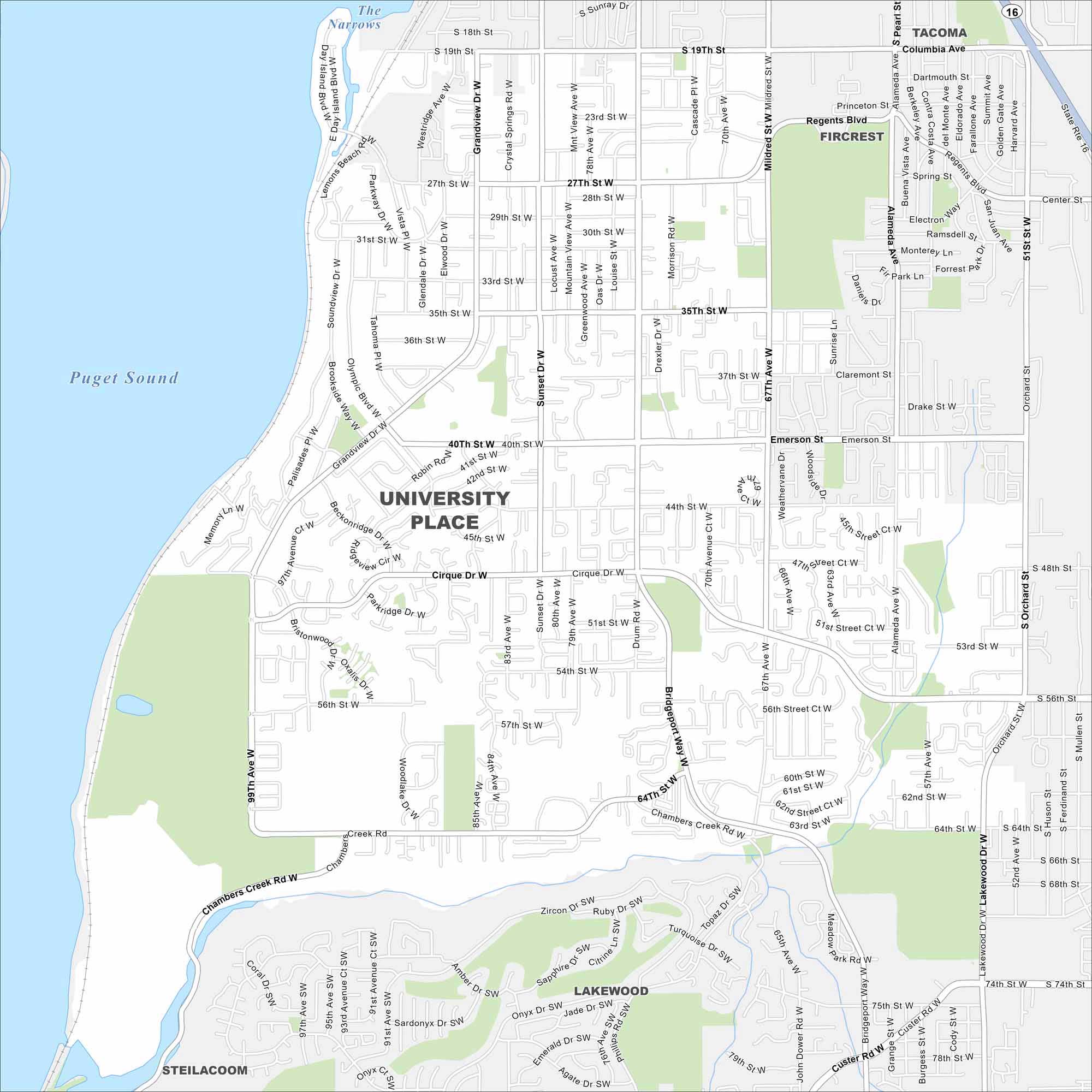
Our University Place map highlights this Tacoma suburb. Overlooking Puget Sound, it’s known for its waterfront views and Olympic Mountains.
Map Information
On the Map
Interstates/Highways: State Rte 16 Major Roads: Bridgeport Way, Mildred St, Orchard St, Pearl St, Alameda Ave, Sunset Dr, Grandview Dr, 19th St, 27th St, 35th St, 40th St, 44th St, 56th St, 64th St, 67th Ave, 74th St, Chambers Creek Rd, Cirque Dr, Regents Blvd, 45th St Lakes and Reservoirs: Puget Sound, The Narrows Nearby Communities: Tacoma, Fircrest, Lakewood, SteilacoomWashington State Maps
Move through the Evergreen State with our map collection.


City Maps of Washington
Check out our city maps of Washington


