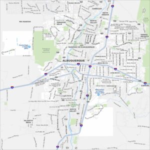
Old Town Albuquerque Map
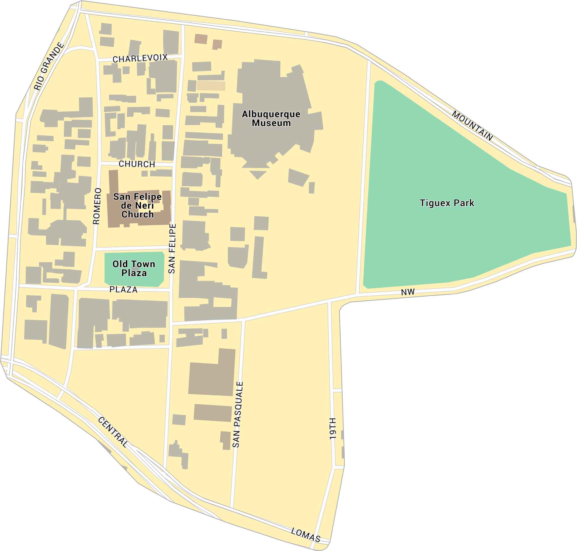
Old Town Albuquerque lies just west of downtown, near the Rio Grande. It’s the city’s historic core, centered around the old plaza and church. Our map shows its streets, landmarks, and surrounding parks.
Map Information
On the Map
Major Roads: Central Ave, Lomas Blvd, Mountain Rd, Rio Grande Blvd, 19th St, San Felipe St, Romero St, Charlevoix St, Church St, San Pasquale Ave Parks: Tiguex Park, Old Town Plaza Landmarks: Albuquerque Museum, San Felipe de Neri ChurchCity Maps of New Mexico
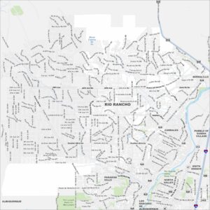
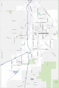
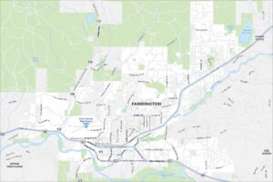
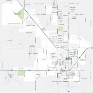
Traverse New Mexico with our city maps.