Union Station Map, Denver
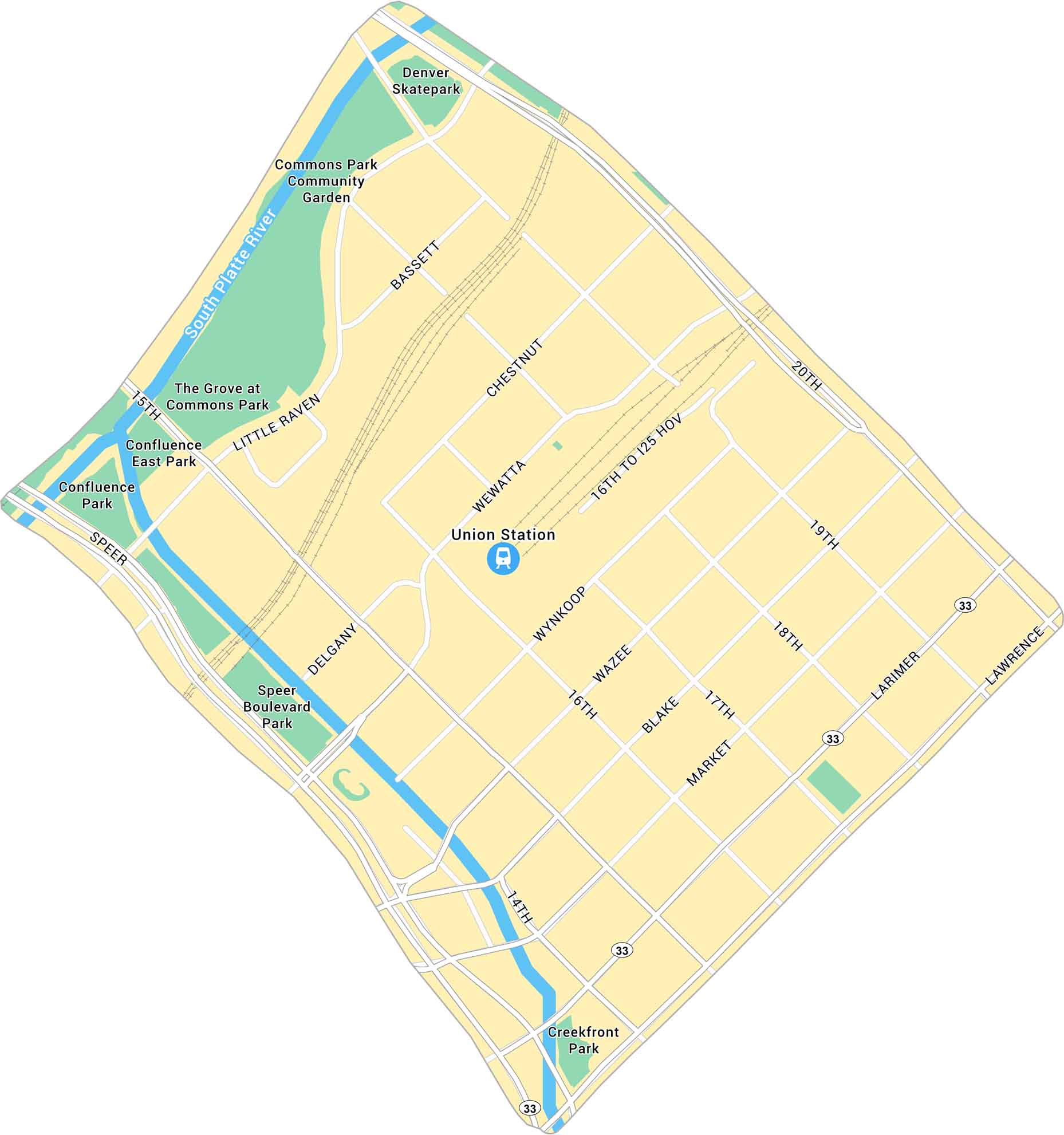
Union Station in Denver is the heart of the city’s transit and history. Our map highlights the station itself, surrounded by its road network. Trains, buses, and light rail all meet here. This makes it both a travel hub and a local hangout.
Map Information
On the Map
Interstates/Highways: State Rte 33 Major Roads: Speer Blvd, 20th St, 15th St, 14th St, 16th St, 17th St, 18th St, 19th St, Wewatta St, Wynkoop St, Market St, Blake St, Wazee St, Larimer St, Lawrence St, Chestnut Place, Little Raven St, Bassett St, Delgany St Major Rivers: South Platte River Parks: Commons Park, Confluence Park, Speer Boulevard Park, Creekfront Park, Denver Skatepark, The Grove at Commons Park, Confluence East Park Landmarks: Union StationDenver Neighborhood Maps
See our neighborhood maps for a closer look of the city.
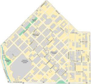
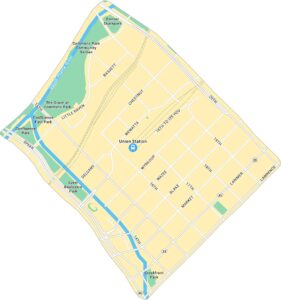
Colorado City Maps
Here are maps of Colorado’s urban areas


