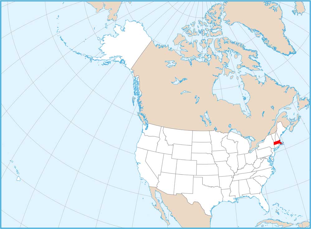
Satellite Map of Massachusetts
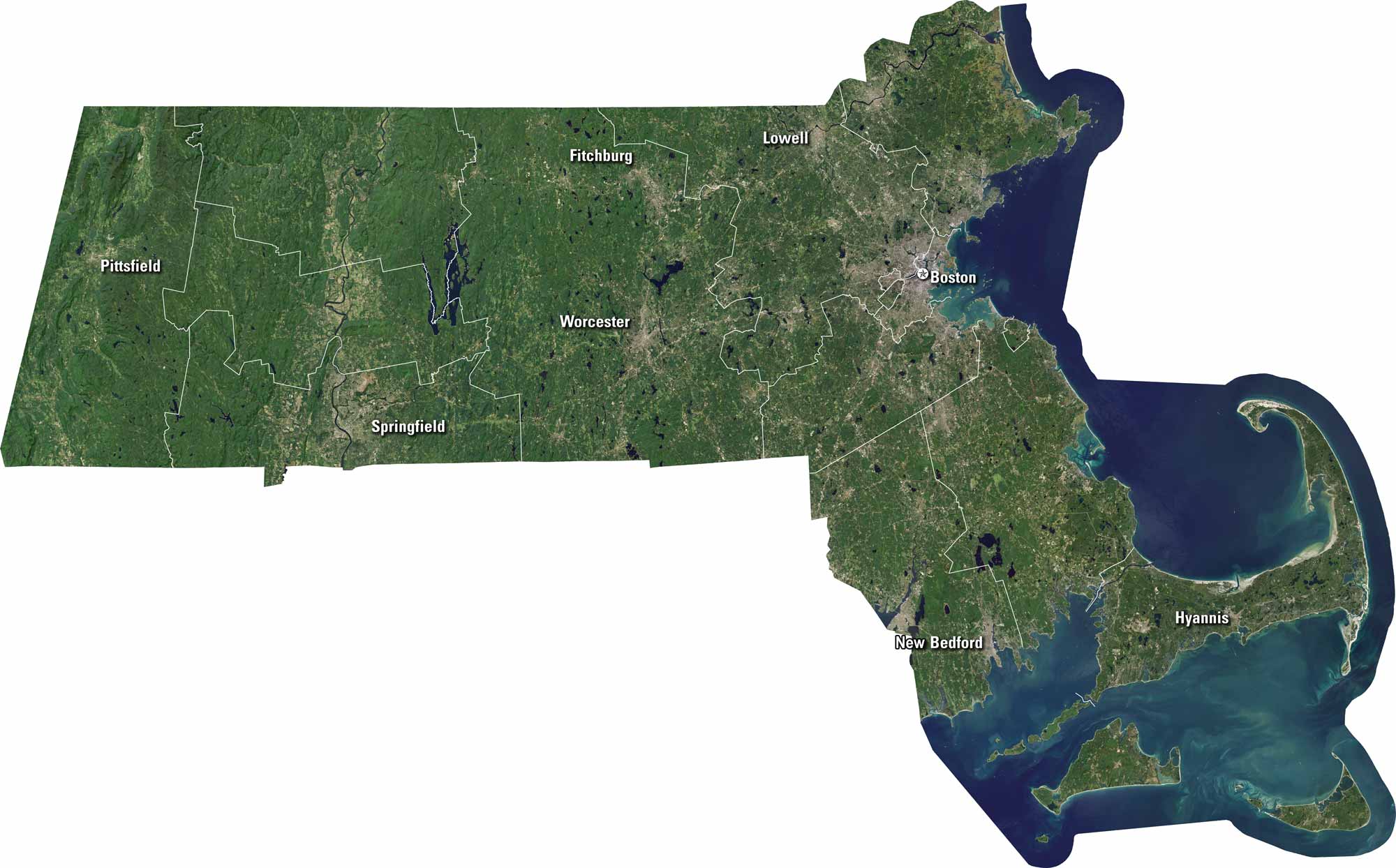
Massachusetts is a small state with a big history. Our satellite map shows Boston, Worcester, Springfield and its other cities. You can see Cape Cod jutting into the Atlantic. The landscape mix coastline, forests, and cities. It’s a place where history meets the sea.
Map Information
On the Map
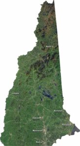
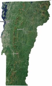
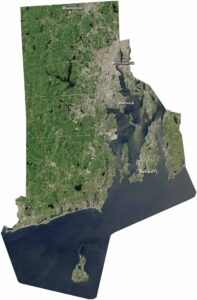
Neighboring State Maps
Find satellite map of neighboring states