Home » State Maps » Satellite Map of New Mexico

Satellite Map of New Mexico

New Mexico Satellite Map

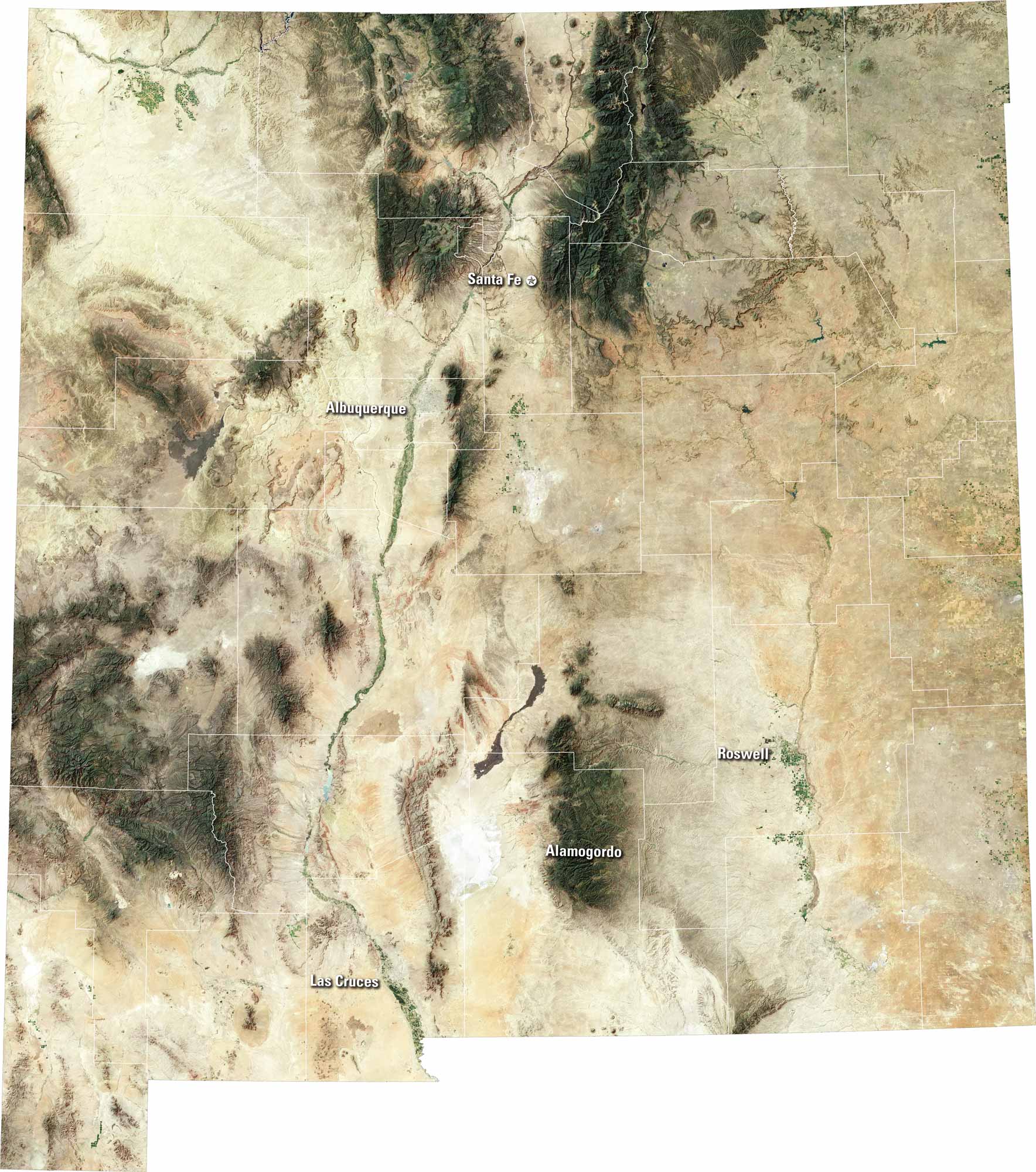
See deserts and mesas on our New Mexico satellite map. You’ll be able to spot Albuquerque, Santa Fe, and Las Cruces on our map. The Rio Grande cuts a long path through the state. New Mexico has wide-open skies and a rich cultural heritage.

Map Information

  • State of New Mexico
  • Satellite Map of New Mexico with Landsat-8 Imagery
  • Free for personal and commercial purpose. Attribution is required. How to attribute?

On the Map

New Mexico Location Map
Cities/Towns (Labels): Alamogordo, Albuquerque, Las Cruces, Roswell, Santa Fe Mountains Range: Sangre de Cristo Mountains (North), Sacramento Mountains (South-central) Major Rivers: Rio Grande (Cuts North to South through center), Pecos River (East) Landforms: White Sands (Near Alamogordo), Gila Wilderness (Southwest)

References

  1. NASA Worldview Earthdata
  2. USGS State Mosaics

Leave a Reply

Your email address will not be published. Required fields are marked *