Satellite Map of North Dakota
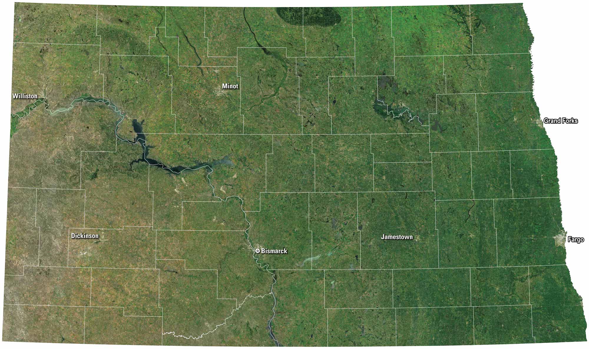
Vast prairies stretch out under wide skies. Fargo and Bismarck rise as the main hubs, but much of the land feels untouched. Rivers like the Red River cut through the plains. On our satellite map, North Dakota shows its quiet open space with its growing towns.
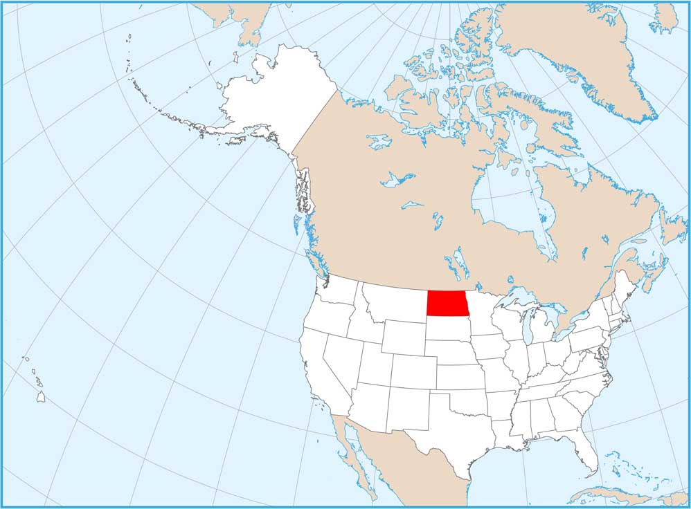
Map Information
On the Map
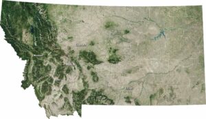
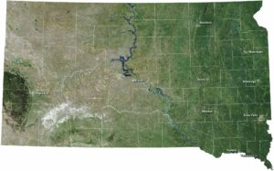
Neighboring State Maps
Find satellite map of neighboring states