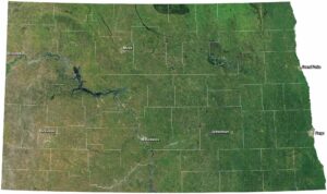
Satellite Map of South Dakota
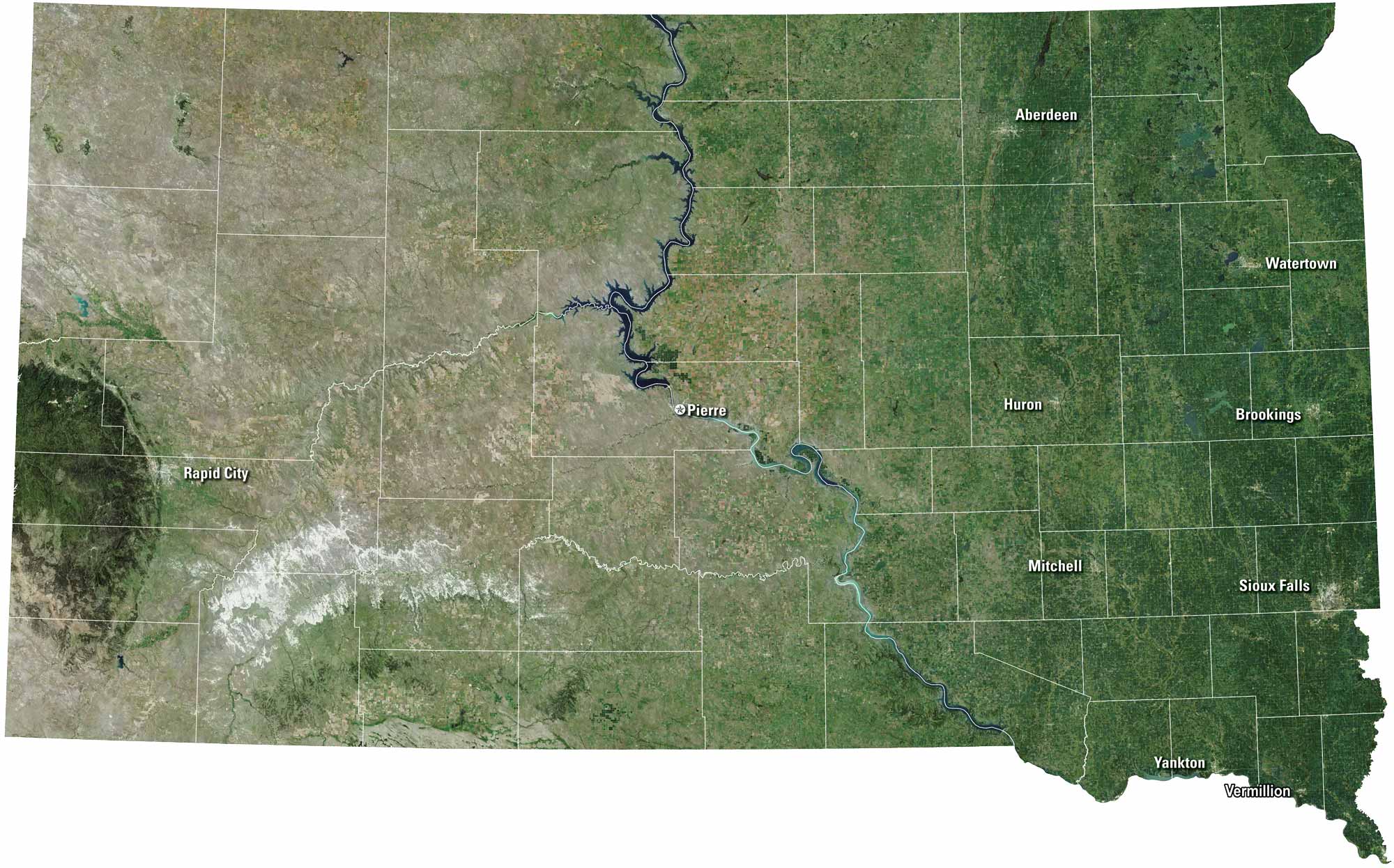
South Dakota stretches wide with rolling plains and rugged Badlands. Sioux Falls and Rapid City anchor the eastern and western sides. The Missouri River cuts through the state, as you can see on our satellite map. Mount Rushmore draws the eye. But it’s the open sky that stays with you.
Map Information
On the Map
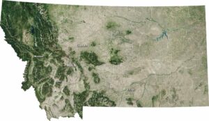
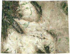
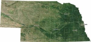
Neighboring State Maps
Find satellite map of neighboring states