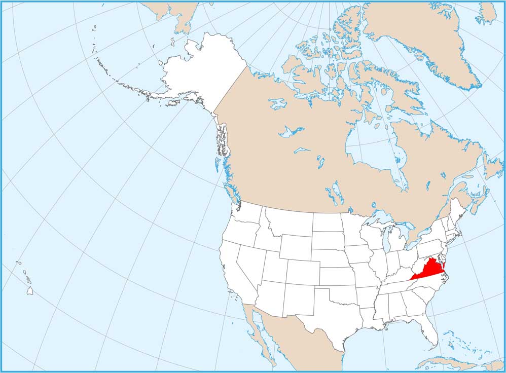
Satellite Map of Virginia

Rolling hills meet long stretches of Atlantic shoreline in Virginia. Our Virginia satellite map displays Richmond, Norfolk, and Roanoke. The Blue Ridge Mountains run down the west but rivers like the James and Potomac flow through the state. It’s a state that feels both historic and naturally rich.
Map Information
On the Map
Neighboring State Maps
Find satellite map of neighboring states