Map of Wyoming, Michigan
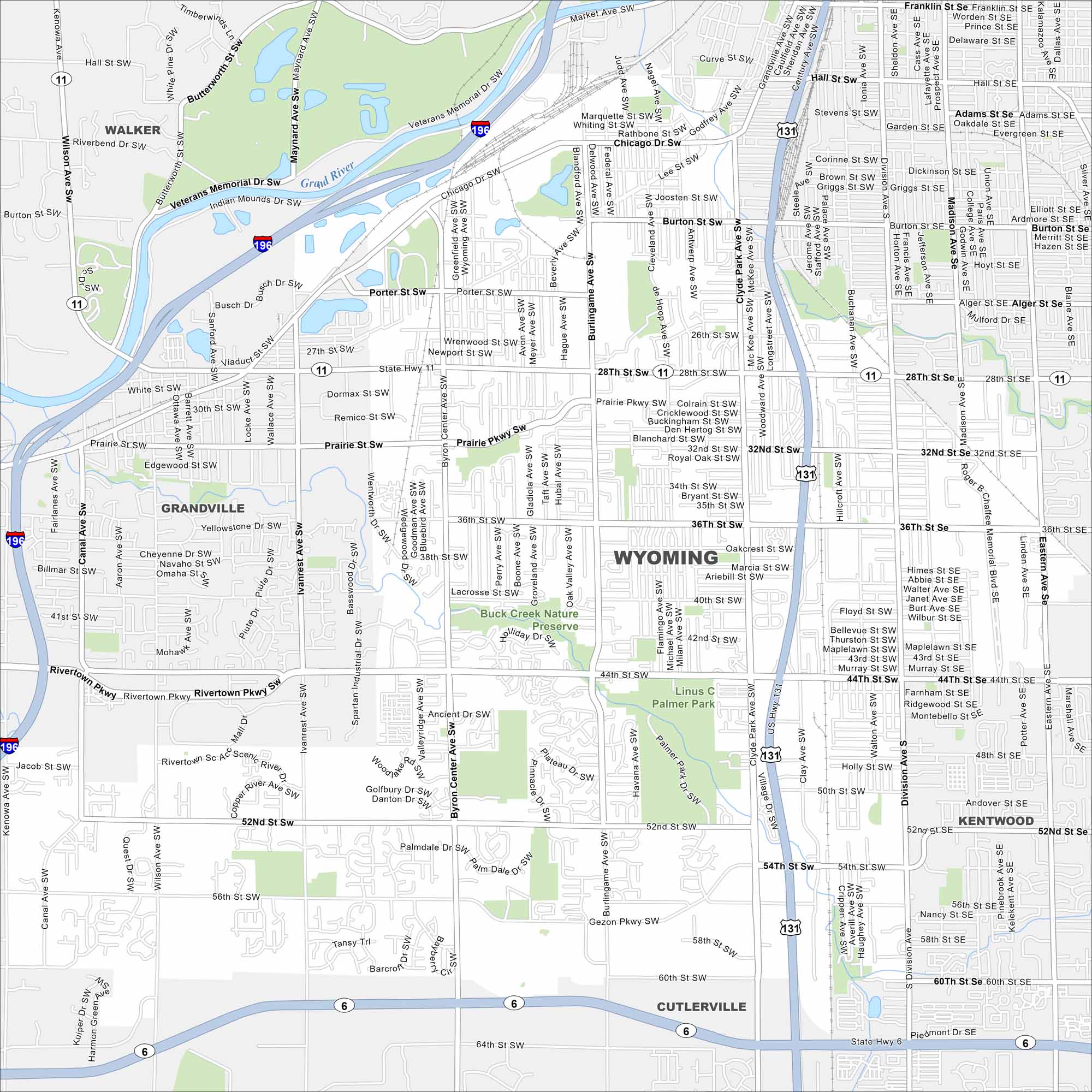
Not to be confused with the state of Wyoming. Here’s our map of Wyoming, Michigan (just outside Grand Rapids). Parks and neighborhoods spread across this busy suburban city.
Map Information
On the Map
Interstates/Highways: I-196, US Hwy 131, State Hwy 6, State Hwy 11 Major Roads: 28th St, 44th St, 52nd St, 36th St, Division Ave, Clyde Park Ave, Byron Center Ave, Burlingame Ave, Ivanrest Ave, Wilson Ave, Kenowa Ave, Gezon Pkwy, Rivertown Pkwy, Chicago Dr, Porter St, Hall St, Burton St, Prairie St, 32nd St, 60th St Major Rivers: Grand River Parks and Preserves: Buck Creek Nature Preserve, Linus C. Palmer Park Nearby Communities: Walker, Grandville, Kentwood, CutlervilleMichigan State Maps
Get to know Michigan with our detailed maps


City Maps of Michigan
Check out our maps of Detroit and other cities in Michigan


