Satellite Map of Wisconsin
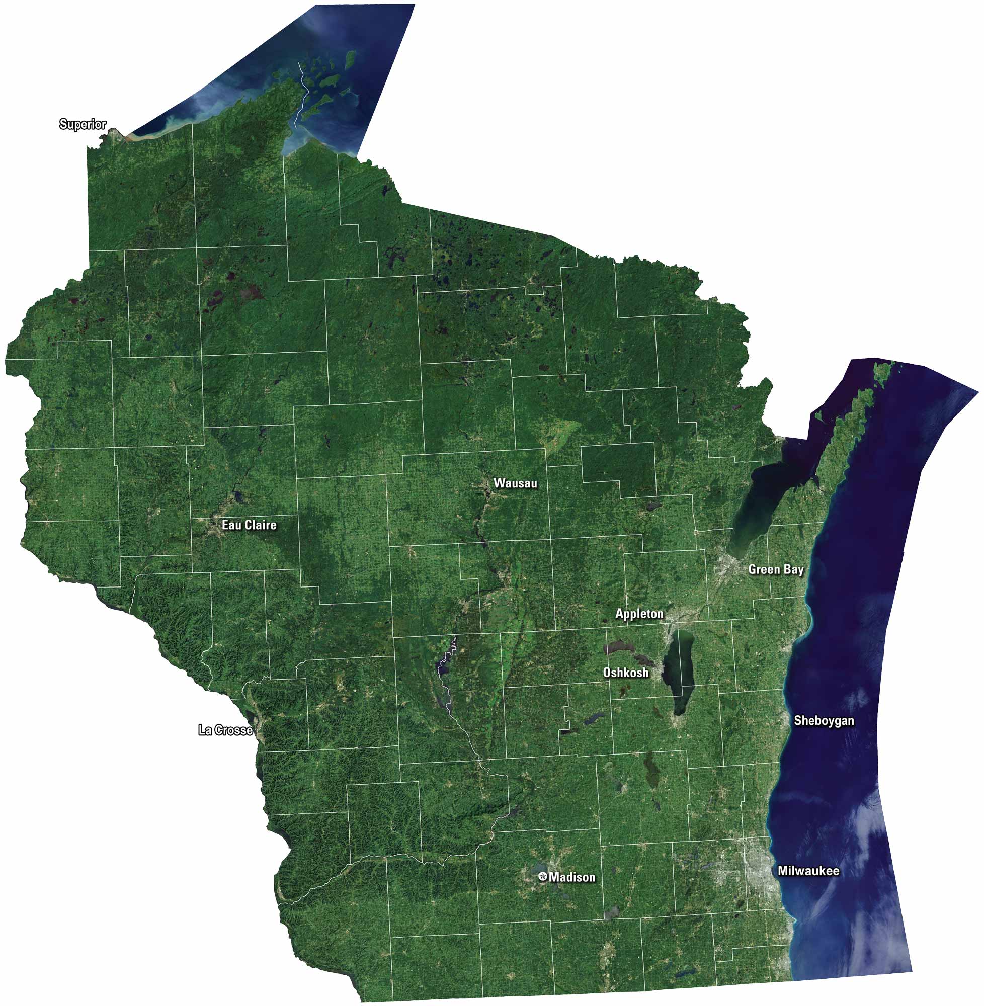
Wisconsin’s satellite map shows green farmland and rolling hills. The Great Lakes shine along the state’s edges. But Lake Michigan stands out the most. You’ll notice cities like Milwaukee and Madison, but also many small towns. Rivers and forests break up the farmland. It feels both busy and peaceful from above.
Map Information
On the Map
Neighboring State Maps
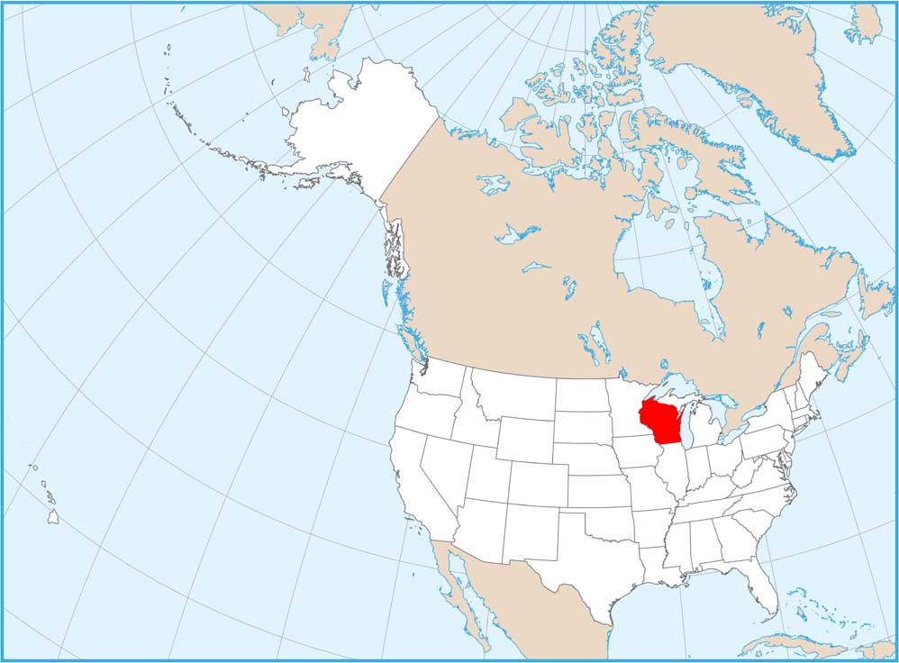
Find satellite map of neighboring states


