Map of Winston-Salem, North Carolina
Here’s a map of Winston-Salem, a city with deep ties to tobacco and textiles. Today, it’s also known for arts and innovation in North Carolina.
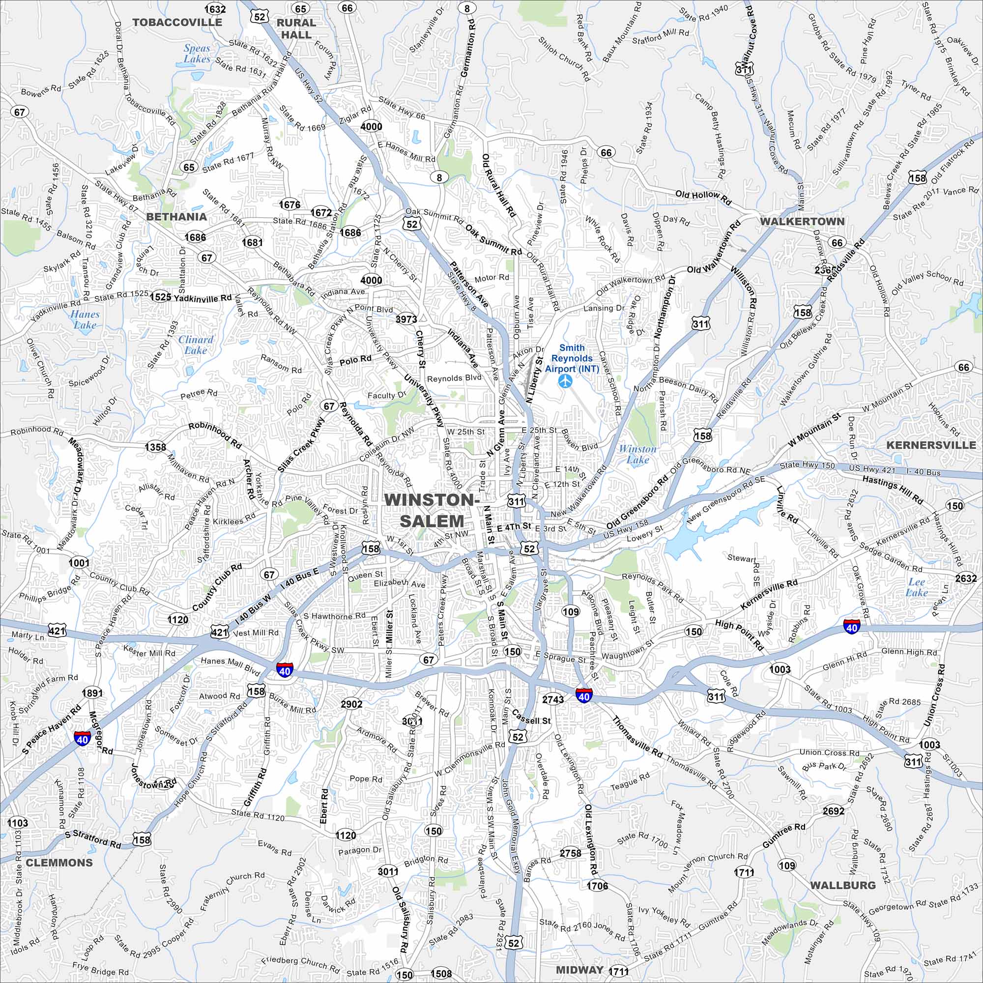
Map Information
On the Map
Interstates/Highways: I-40, US Hwy 52, US Hwy 311, US Hwy 421, State Rte 8, State Rte 65, State Rte 66, State Rte 67, State Rte 109, State Rte 150 Major Roads: Main St, Liberty St, Peters Creek Pkwy, Silas Creek Pkwy, University Pkwy, Reynolda Rd, Robinhood Rd, Country Club Rd, Stratford Rd, Hanes Mall Blvd, Clemmons Rd, Thomasville Rd, Kernersville Rd, High Point Rd, Walkertown Rd, Old Hollow Rd, Patterson Ave, Glenn Ave, Polo Rd, Peace Haven Rd Airports: Smith Reynolds Airport (INT) Lakes and Reservoirs: Hanes Lake, Clinard Lake, Speas Lakes, Winston Lake, Kernersville Lake, Lee Lake Nearby Communities: Tobaccoville, Rural Hall, Bethania, Walkertown, Kernersville, Wallburg, Midway, ClemmonsNorth Carolina State Maps
Get to know the mountains and coastlines of North Carolina.


City Maps of North Carolina
Journey through North Carolina with our city maps


