Map of Wilton Manors, Florida
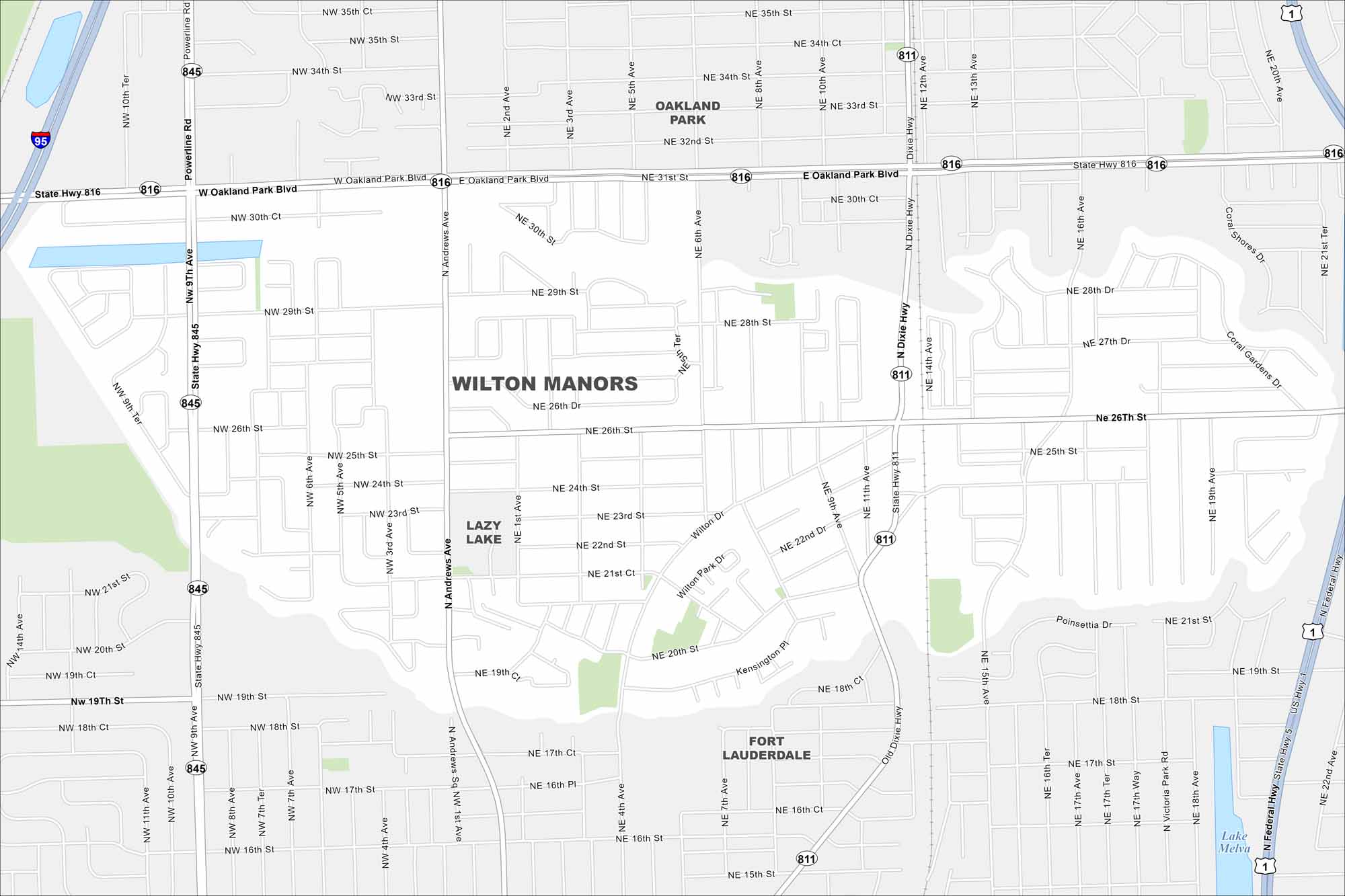
Our map highlights Wilton Manors, Florida, located to the north of Fort Lauderdale. Major features include Interstate 95 along the west border and Lazy Lake in the center.
Florida State Maps
Discover Florida through our state maps


Map Information
On the Map
Interstates/Highways: I-95, US Hwy 1, State Hwy 811, State Hwy 816, State Hwy 845 Major Roads: Oakland Park Blvd, Sunrise Blvd, Powerline Rd, Andrews Ave, Dixie Hwy, Federal Hwy, Wilton Dr, 26th St, 19th St, 15th Ave, 9th Ave, 6th Ave, 4th Ave, 24th St, 28th St, 34th St, 32nd St, 38th St, Victoria Park Rd, 17th St Lakes and Reservoirs: Lake Melva Nearby Communities: Oakland Park, Fort Lauderdale, Lazy LakeFlorida City Maps
Chart your course through Miami and Florida’s cities


