Map of Weston, Florida
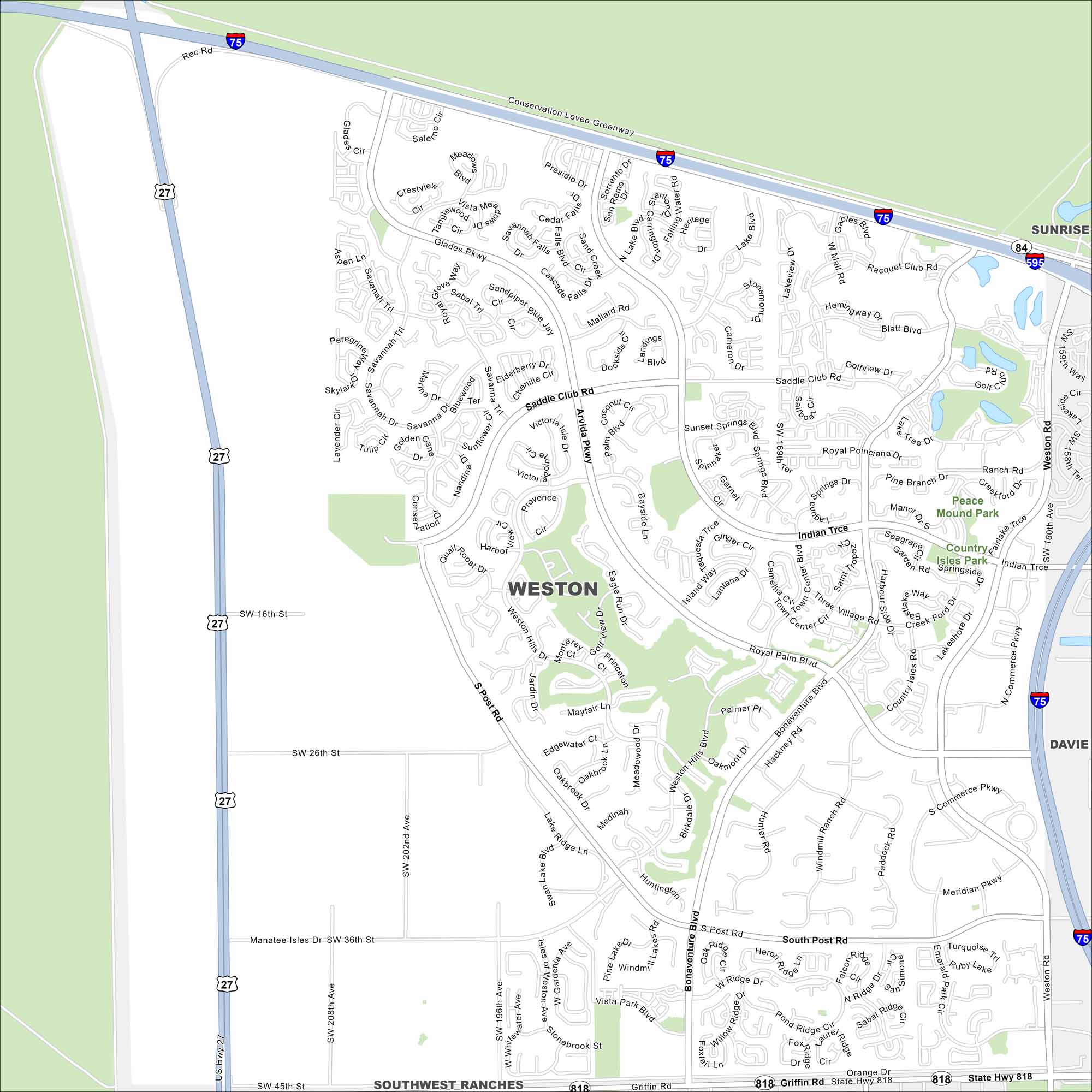
Need directions for Weston, Florida? This master-planned city is filled with lakes, greenways, and quiet suburban streets. It’s sandwiched between I-75 and US-27.
Florida State Maps
Discover Florida through our state maps


Map Information
On the Map
Interstates/Highways: I-75, I-595, US Hwy 27, State Hwy 84, State Hwy 818 Major Roads: Griffin Rd, Weston Rd, Royal Palm Blvd, Arvida Pkwy, Indian Trce, Saddle Club Dr, Glades Pkwy, Post Rd, Bonaventure Blvd, Commerce Pkwy, Orange Dr, Country Isles Rd, Vista Park Blvd, Lake Ridge Ln, Savanna Trl, San Remo Blvd, Lake Blvd, Windmill Ranch Rd, Emerald Lake Dr, Peace Mound Rd Parks and Preserves: Peace Mound Park, Country Isles Park Nearby Communities: Sunrise, Davie, Southwest RanchesFlorida City Maps
Chart your course through Miami and Florida’s cities


