Map of Watertown, New York
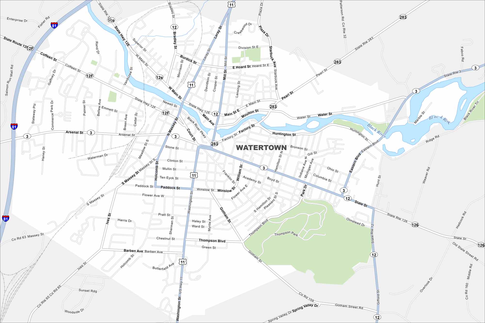
Here’s how to get around Watertown near the Thousand Islands region. Our map highlights the Black River and the city’s historic downtown.
Map Information
On the Map
Interstates/Highways: I-81, US Hwy 11, State Rte 3, State Rte 12, State Rte 12E, State Rte 12F, State Rte 283, State Rte 126 Major Roads: Arsenal St, Main St, State St, Washington St, Massey St, Mill St, Factory St, Eastern Blvd, Huntington St, Bradley St, Coffeen St, Thompson Blvd, Gotham St, Pearl St, Moulton St, Water St, Bronson St, Gill St, Ohio St, Columbia St Major Rivers: Black River Parks and Preserves: Thompson ParkNew York State Maps
Find state maps of the Empire State.


City Maps of New York
Here are the city maps that define New York


