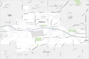
Map of Wasilla, Alaska
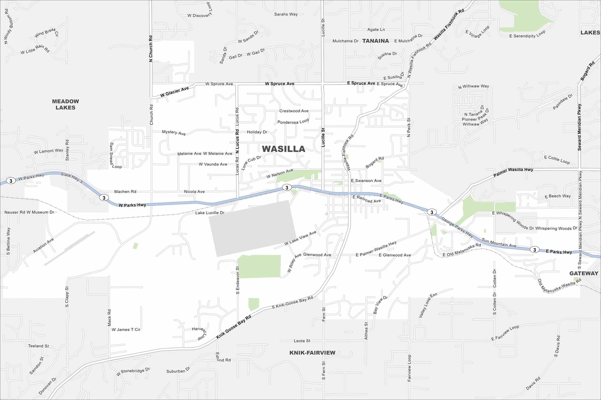
Wasilla is surrounded by lakes and mountains in the Matanuska Valley. Our map of Wasilla shows you around this growing Alaskan community.
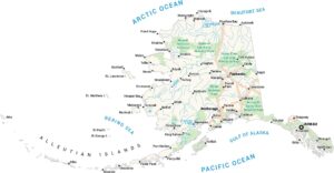
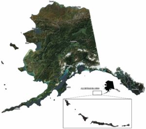
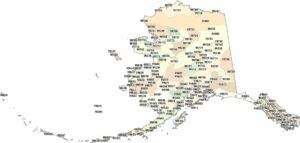
Alaska State Maps
Take a look at our Alaska state maps


Map Information
On the Map
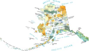
Interstates/Highways: Parks Hwy (Hwy 3), George Parks Hwy, Seward Meridian Pkwy Major Roads: Knik Goose Bay Rd, Palmer Wasilla Hwy, Lucille St, Bogard Rd, Wasilla Fishhook Rd, Main St, Nelson Ave, Spruce Ave, Glacier Ave, Mack Rd, Church Rd, N Lucus Rd, Nicola Ave, E Railroad Ave, E Swanson Ave, E Glenwood Ave, S Knik-Goose Bay Rd, S Cotten Dr, Sun Mountain Ave, Old Matanuska Rd Lake and Reservoir: Jacobsen Lake, Lucille Lake, Wasilla Lake, Mud Lake Rivers and Streams: Cottonwood Creek, Lucile River Nearby Communities: Meadow Lakes, Tanaina, Lakes, Gateway, Knik-FairviewAlaska City Maps
Browse our collection of Alaska city maps