Map of Valley Stream, New York
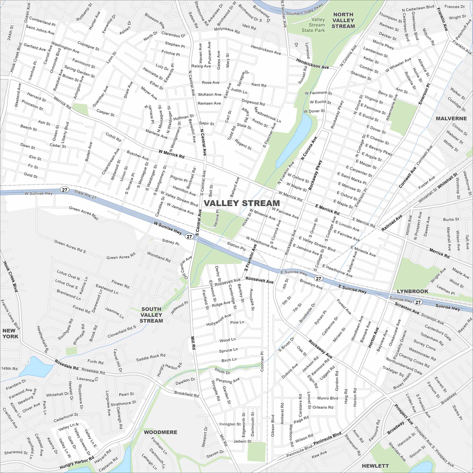
Our road map of Valley Stream shows its Long Island setting. The village is filled with parks, shops, and close city connections.
Map Information
On the Map
Interstates/Highways: State Rte 27, Sunrise Hwy Major Roads: Merrick Rd, Central Ave, Franklin Ave, Rockaway Ave, Valley Stream Blvd, Mill Rd, Peninsula Blvd, Broadway, Corona Ave, Westbury Blvd, Fletcher Ave, Green Acres Rd, Ocean Ave, Dubois Ave, Wheeler Ave, Gibson Blvd, Cochran Pl, Fenimore St, Euclid St Parks and Preserves: Valley Stream State Park Nearby Communities: North Valley Stream, South Valley Stream, Malverne, Lynbrook, Woodmere, HewlettNew York State Maps
Find state maps of the Empire State.


City Maps of New York
Here are the city maps that define New York


