US State Capitals Map
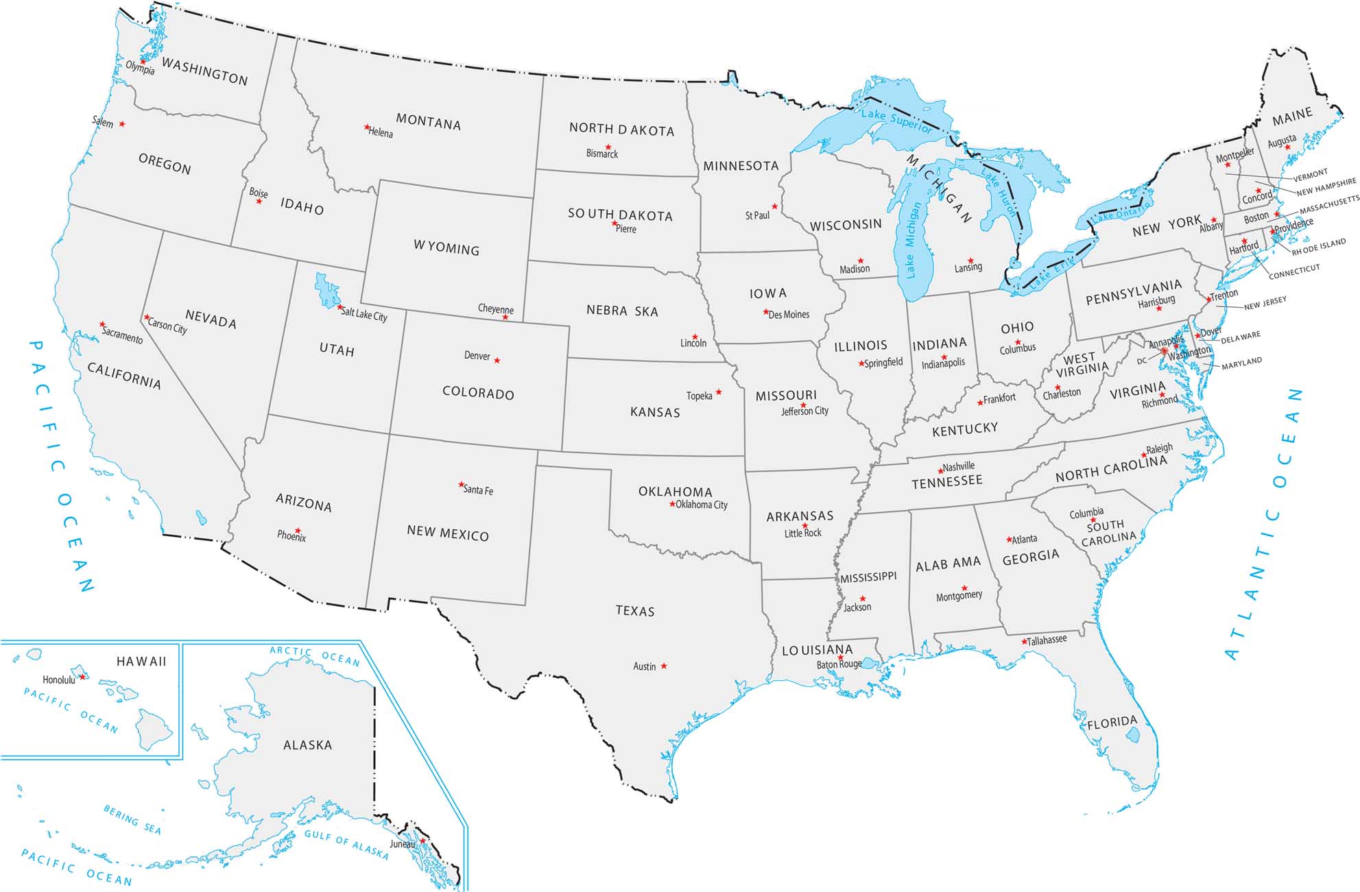
Our US state capital map highlights where political centers are located across the country. States are shown with their capital cities clearly labeled. You might be surprised that many capitals aren’t the biggest cities in their states.
Map Information
Country Maps
Explore the geography that defines this nation.


