US Light Pollution Map
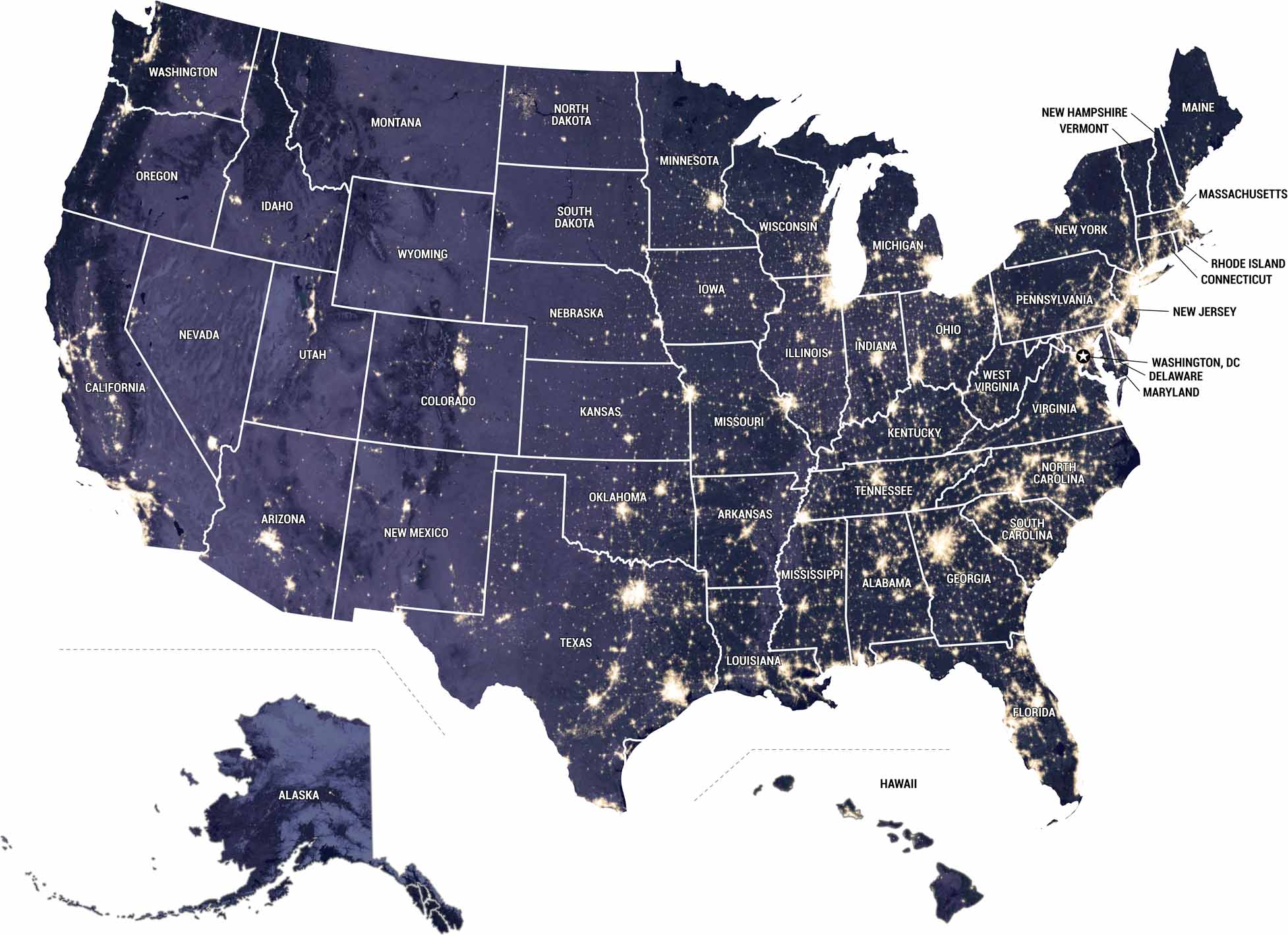
Our map uses NASA’s Black Marble data to show where artificial light is brightest across the United States. Major metros, highways, and industrial corridors stand out clearly after dark. On the contrary, our US light pollution map shows darker regions like deserts, mountains, and remote plains.
Map Information
Country Maps
Explore the geography that defines this nation.


