US Drought Map
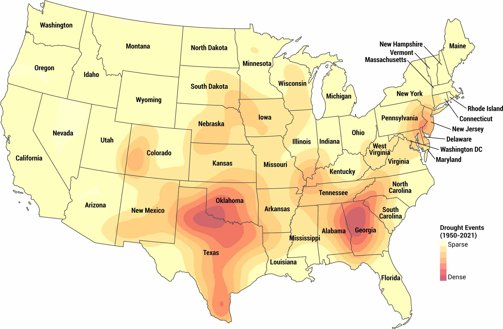
Seventy years of drought data laid out in one place. This map tracks drought conditions across America from 1950 to 2021. In our US drought map, you’ll be able to see where droughts occurred most often. See which regions have struggled with dry spells over the decades. The patterns might surprise you.
Map Information
Country Maps
Explore the geography that defines this nation.


