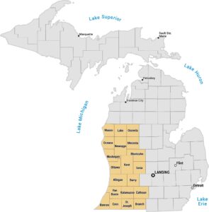
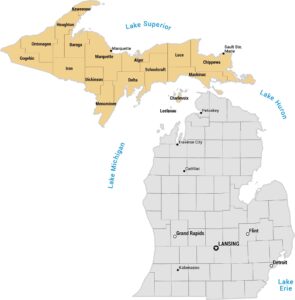
Upper Midwest Map
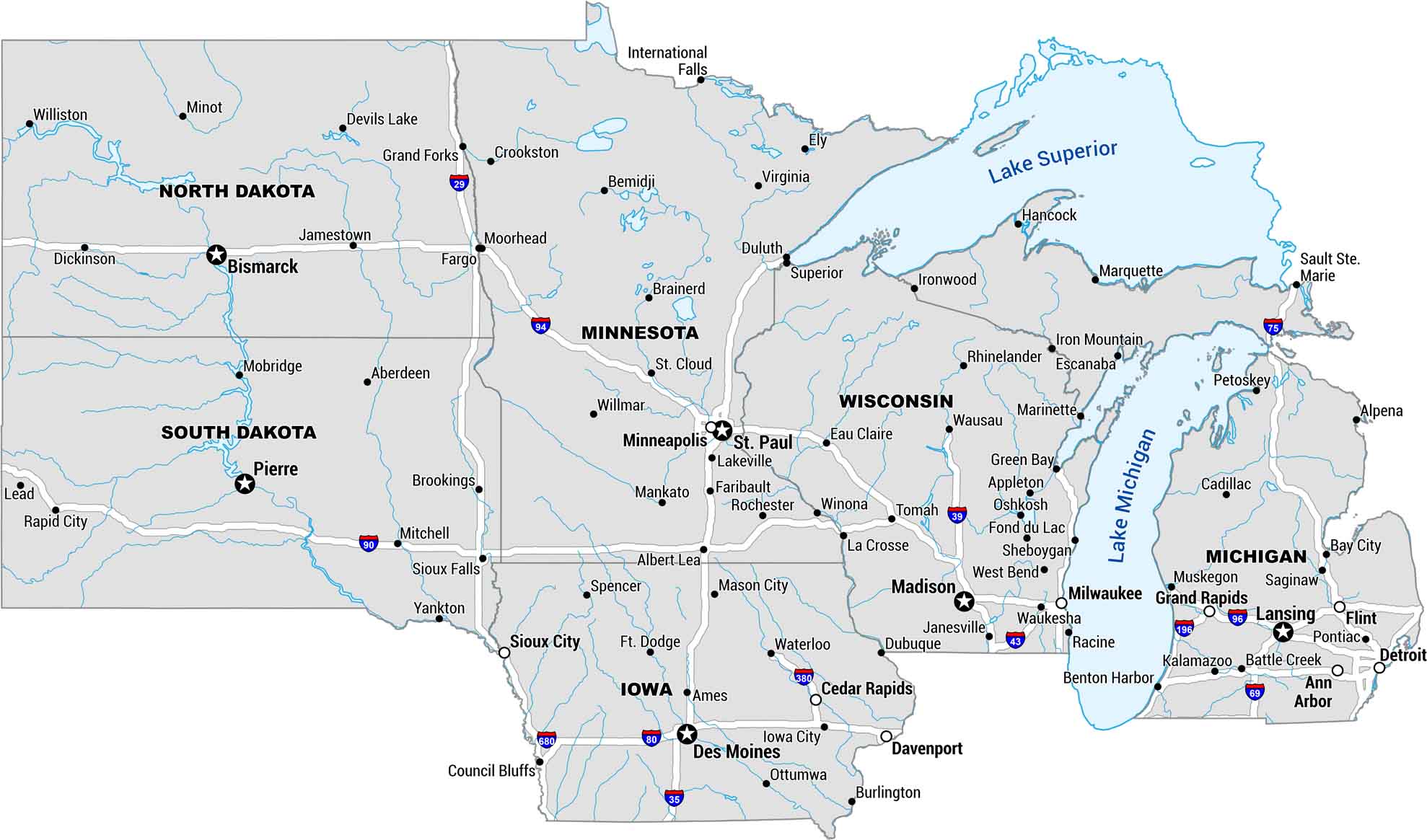
The Upper Midwest is big sky, big lakes, and long roads. Our map covers the stretch from Michigan to the Dakotas. You’ll see lakes, rivers, highways and cities. Cold winters, clear summers. There’s no place quite like it.
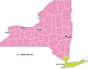
Map Information
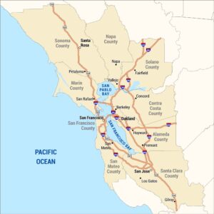
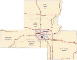
Metropolitan Regions
Developed areas, suburban zones, and metro regions.