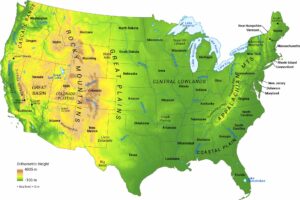
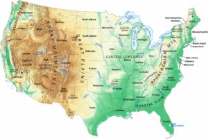
United States Hillshade Map
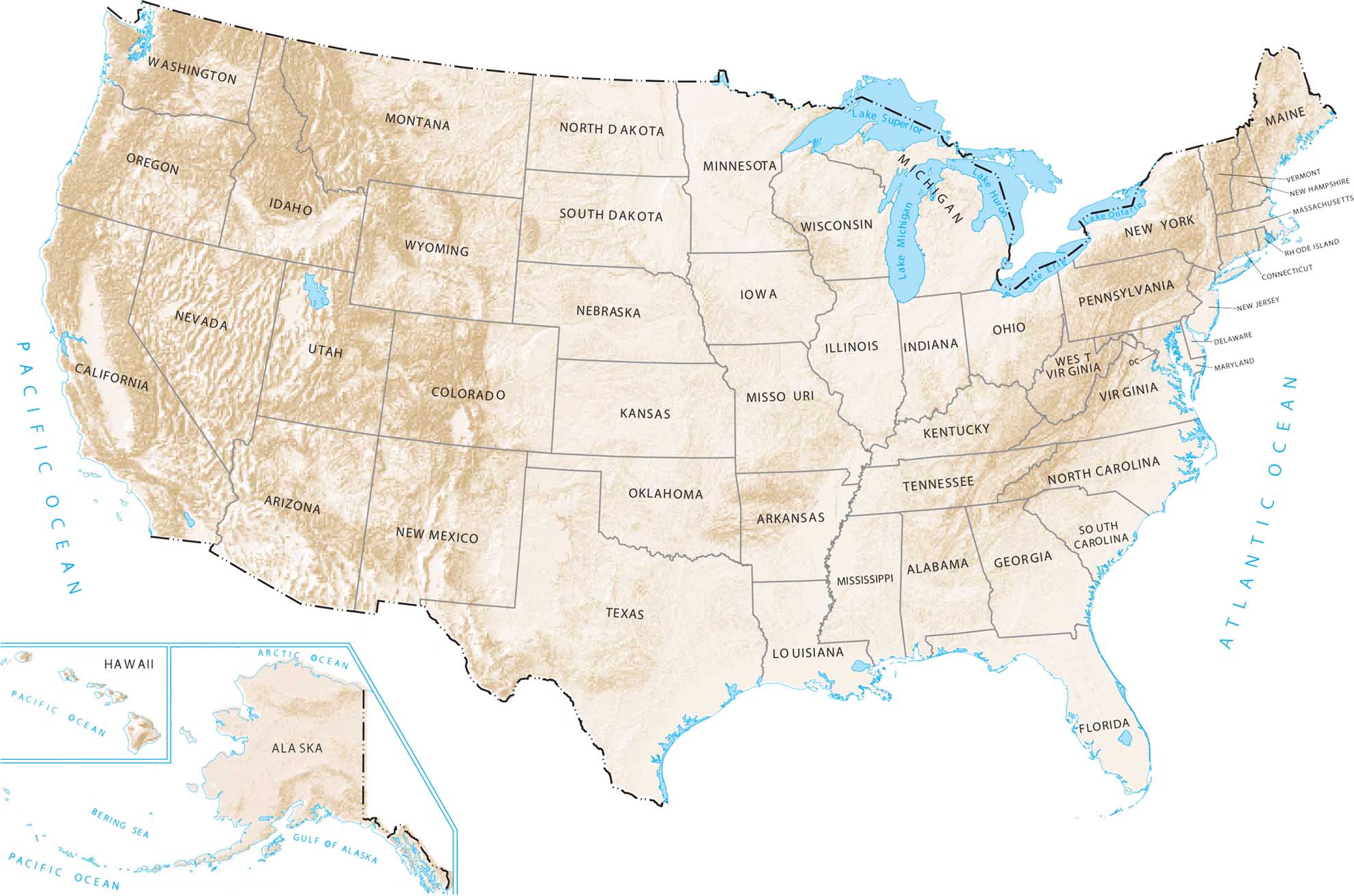
Shaded relief gives the land surface a three-dimensional look. This means mountain ranges, plateaus, and valleys stand out clearly. Our hillshade map shows you exactly where the land rises and falls across the country.
Map Information
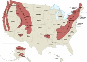
US Physical Maps
Witness the geography that forged a nation.