Map of Troy, Michigan
Get around Troy with our map of this Detroit suburb. This city is a major hub for business, shopping, and family neighborhoods.
Map Information
On the Map
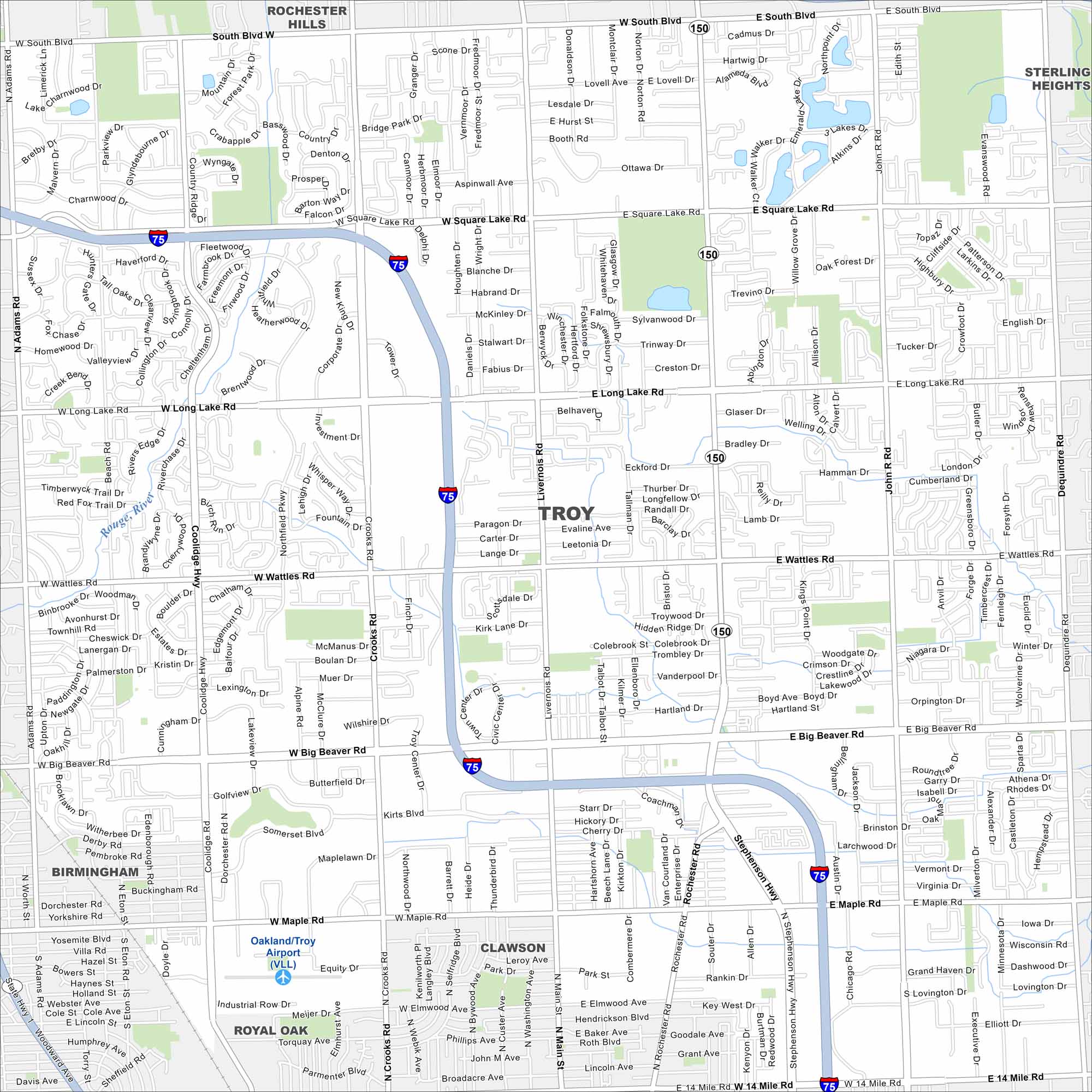
Interstates/Highways: I-75, State Hwy 150 Major Roads: Big Beaver Rd, Rochester Rd, Maple Rd, 14 Mile Rd, Wattles Rd, Long Lake Rd, Square Lake Rd, South Blvd, Dequindre Rd, Adams Rd, Crooks Rd, Coolidge Hwy, Livernois Rd, Stephenson Hwy, Main St Airports: Oakland/Troy Airport (VLL) Major Rivers: Rouge River Nearby Communities: Rochester Hills, Troy, Birmingham, Clawson, Royal Oak, Sterling HeightsMichigan State Maps
Get to know Michigan with our detailed maps


City Maps of Michigan
Check out our maps of Detroit and other cities in Michigan


