Treaty of Adams-Onis 1819 Map
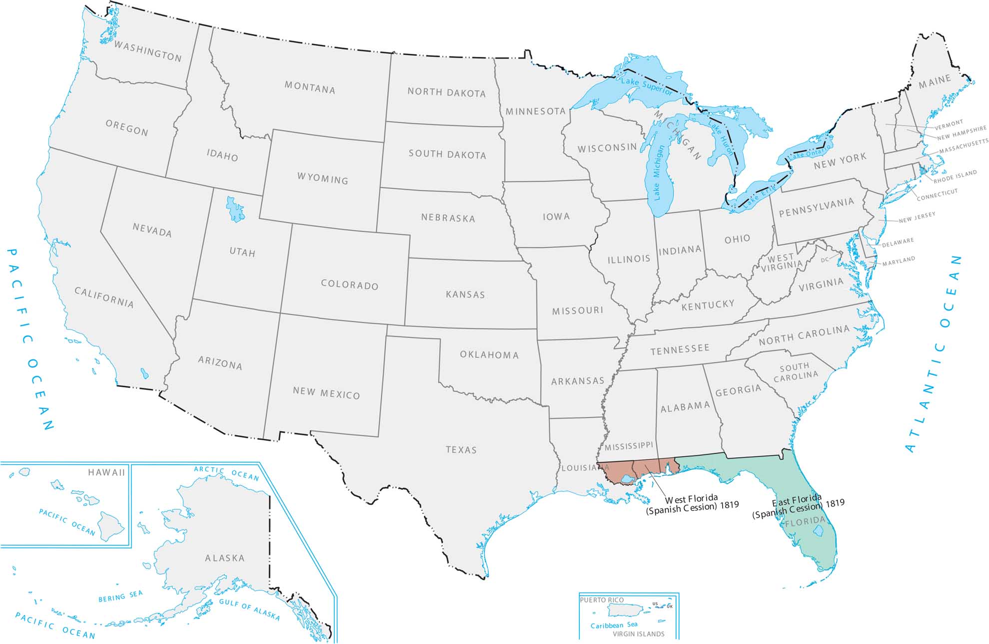
Our Treaty of Adams-Onis 1819 map shows the U.S. acquiring the Atlantic coast. Getting Florida was important because it’s a huge peninsula with access to shipping routes. This meant America finally controlled the whole southeastern corner and Gulf Coast.
Map Information
Country Maps
Explore the geography that defines this nation.


