Texas Annexation 1845 Map
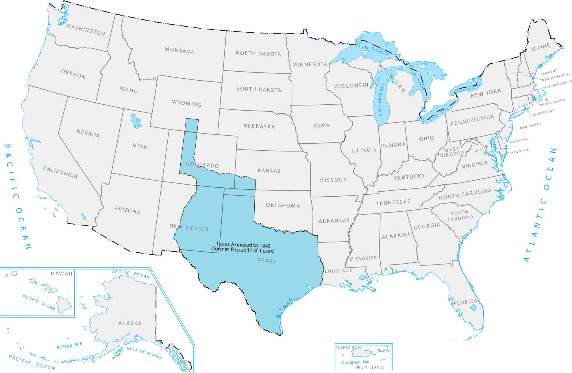
Texas was its own country for almost ten years after breaking away from Mexico, then joined the US as a state. Texas was absolutely huge and pushed America’s border all the way to the Rio Grande. Adding Texas made Mexico pretty angry and led to more conflict between the two countries. Our Texas Annexation 1845 map shows how it reshaped the southern edge of the United States.
Map Information
Country Maps
Explore the geography that defines this nation.


