Map of Tarrytown, New York
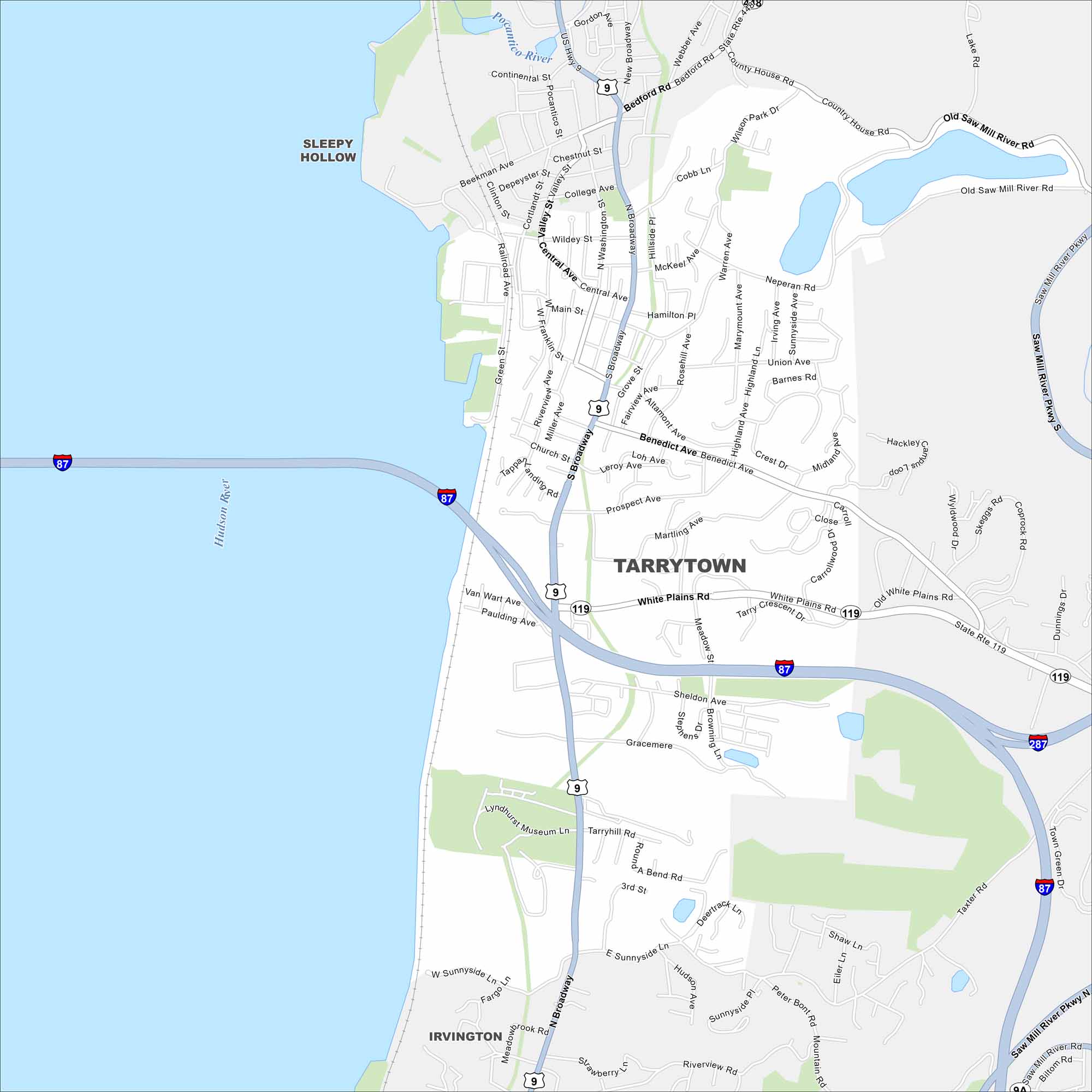
Our map of Tarrytown shows its prime location along the Hudson River. This historic village is known for Lyndhurst Mansion, river views, and ties to Washington Irving’s Sleepy Hollow.
Map Information
On the Map
Interstates/Highways: I-87, I-287, US Hwy 9, State Rte 119 Major Roads: Broadway, White Plains Rd, Main St, Benedict Ave, Tarrytown Rd, Neperan Rd, Sunnyside Ln, Saw Mill River Pkwy, Central Ave, Wildey St, Sheldon Ave, Prospect Ave, Martling Ave, Leroy Ave, Church St, Franklin St, Miller Ave, Valley St, College Ave, Cobb Ln Major Rivers: Hudson River Nearby Communities: Sleepy Hollow, IrvingtonNew York State Maps
Find state maps of the Empire State.


City Maps of New York
Here are the city maps that define New York


