Map of Idaho Falls, Idaho
Explore our map of Idaho Falls on the Snake River. The falls themselves cut right through town. Highways lead into stretches of farmland.
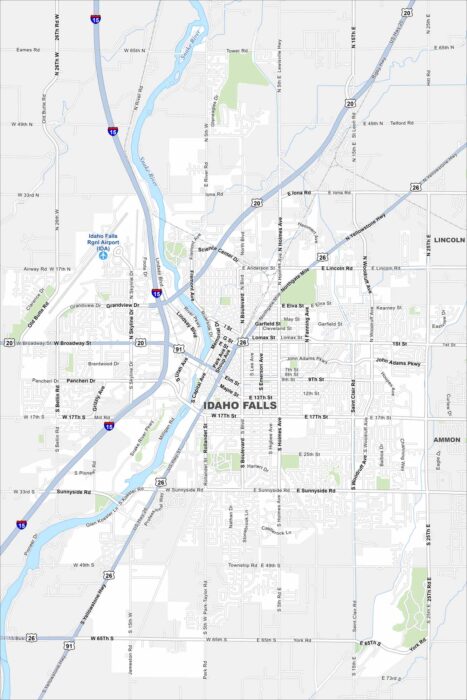
Explore our map of Idaho Falls on the Snake River. The falls themselves cut right through town. Highways lead into stretches of farmland.
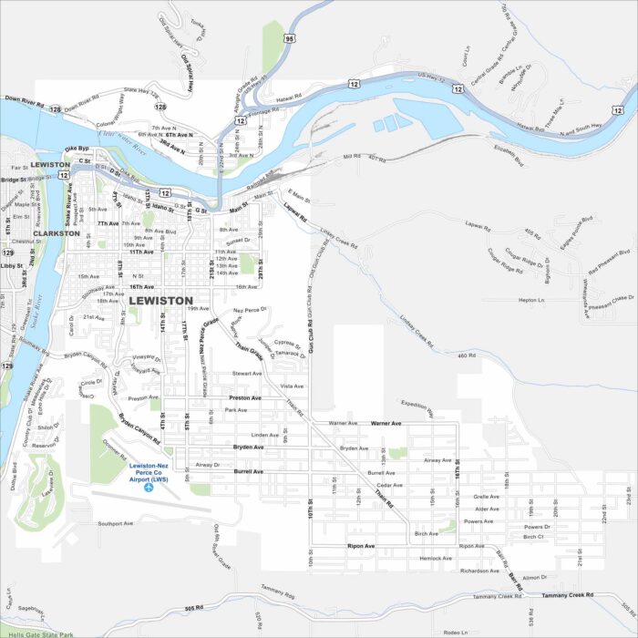
Lewiston appears on the map where the Snake and Clearwater Rivers meet. The city sits in a valley with mountains framing both sides.
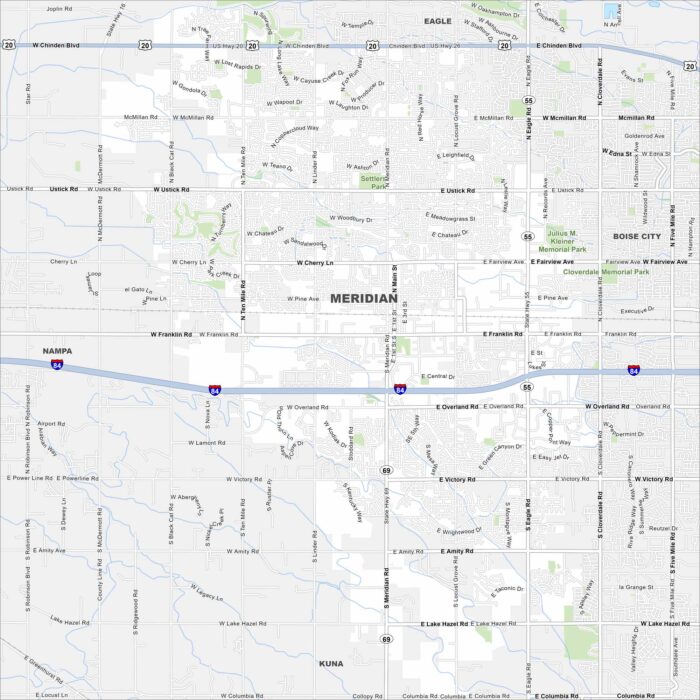
Meridian sits between Boise and Nampa. Our map highlights sprawling neighborhoods, Interstate 84, and new growth.
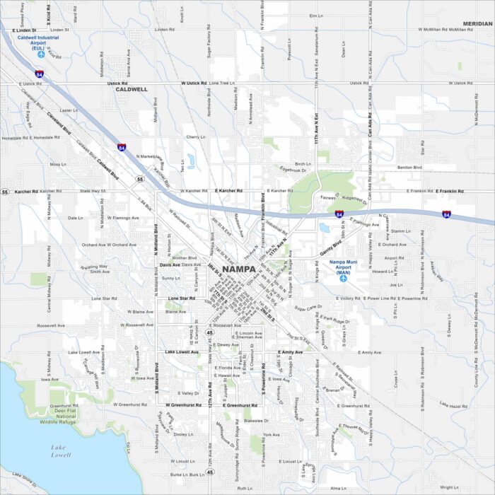
Check out Nampa on our map of the Treasure Valley. The layout includes a central downtown and farmland on the outskirts.
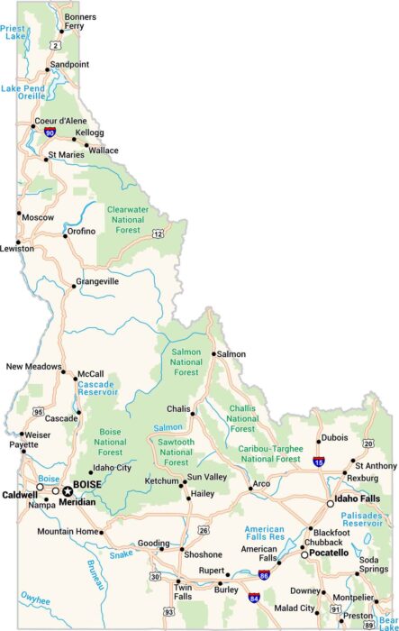
Here’s our map of Idaho made for exploring. Forests, rivers, towns, and lakes fill the landscape. You’ll spot Boise, Coeur d’Alene and more.
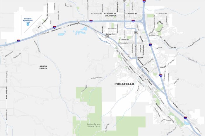
Take a look at Pocatello stretching along the Portneuf River valley. This map shows how the city is framed by mountain ridges.
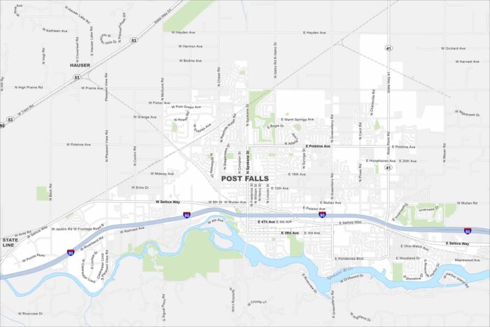
Post Falls, Idaho lies along the Spokane River near Coeur d’Alene. The river shapes green spaces and recreation areas.
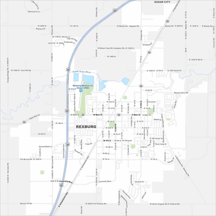
Home to BYU–Idaho, Rexburg is a lively college town. You can easily get around its compact downtown and surrounding streets.
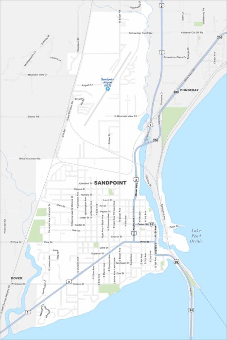
Here’s a simple map of Sandpoint, Idaho. Lake Pend Oreille and the nearby mountains make it one of Idaho’s most scenic spots.
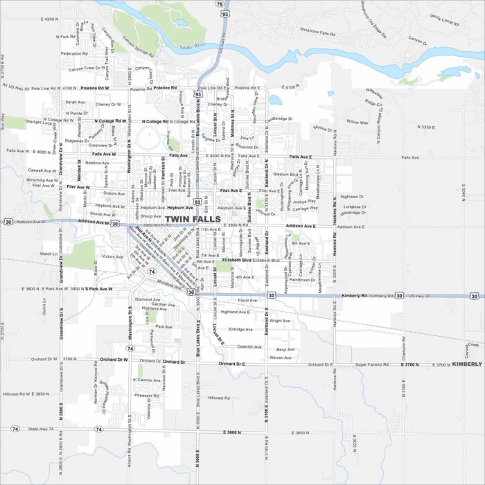
Need directions for Twin Falls, Idaho? Our map shows the famous Perrine Bridge (U.S. Highway 93 over the Snake River Canyon).