Map of Sweetwater, Florida
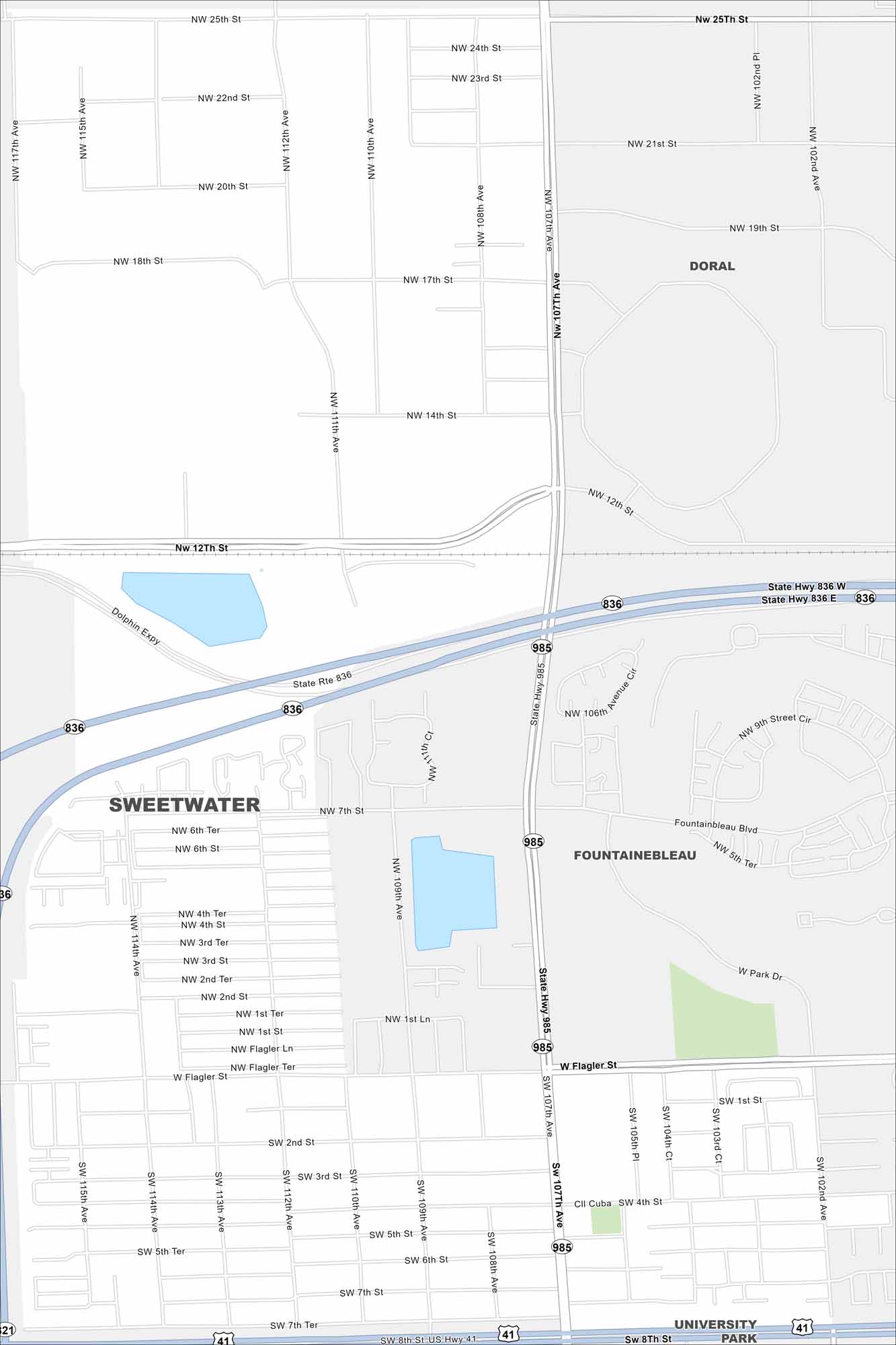
Here’s a simple map of Sweetwater in Miami-Dade. It’s home to Dolphin Mall, Florida International University, and a busy international community.
Florida State Maps
Discover Florida through our state maps


Map Information
On the Map
Interstates/Highways: US Hwy 41, State Hwy 836, State Hwy 985 Major Roads: Flagler St, 107th Ave, 114th Ave, 112th Ave, 109th Ave, 8th St, 12th St, 25th St, 20th St, 7th St, 2nd St, 4th St, Fontainebleau Blvd, Park Dr Nearby Communities: Doral, Fontainebleau, University ParkFlorida City Maps
Chart your course through Miami and Florida’s cities


