Map of Sunny Isles Beach, Florida
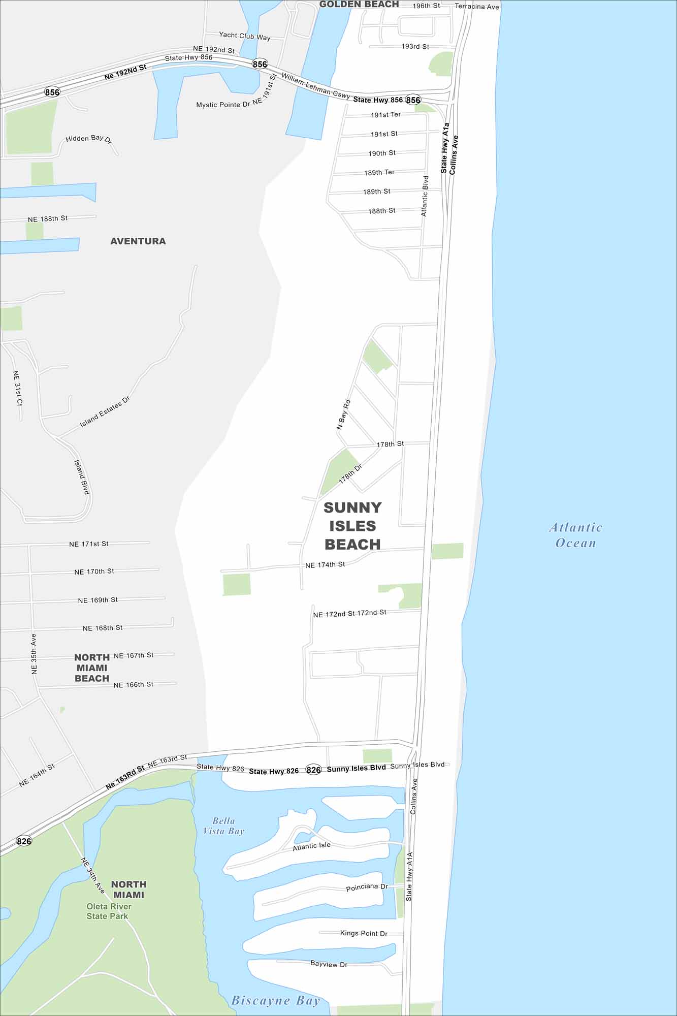
Take a look at our map of Sunny Isles Beach. Ocean views stretch for miles in this Florida city, with tall resorts lining the sandy shoreline.
Florida State Maps
Discover Florida through our state maps


Map Information
On the Map
Interstates/Highways: State Hwy 856, State Hwy 826 Major Roads: Collins Ave, Sunny Isles Blvd, Atlantic Blvd, Lehman Cswy, 192nd St, 188th St, 178th St, 174th St, 172nd St, 163rd St Lakes and Reservoirs: Atlantic Ocean, Biscayne Bay, Bella Vista Bay, Hidden Bay Parks and Preserves: Oleta River State Park Nearby Communities: Golden Beach, Aventura, North Miami Beach, North MiamiFlorida City Maps
Chart your course through Miami and Florida’s cities


