Map of St. Petersburg, Florida
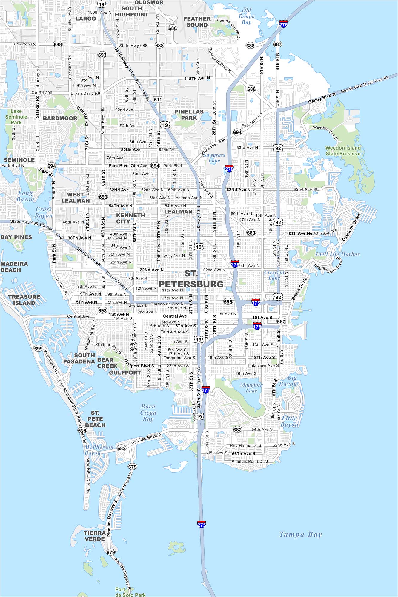
Our map of St. Petersburg shows its waterfront downtown and sandy Gulf beaches. Sunshine, art, and music fill the city year-round. It has so much sunshine that it has a Guinness World Record.
Florida State Maps
Discover Florida through our state maps


Map Information
On the Map
Interstates/Highways: I-275, I-175, I-375, US Hwy 19, US Hwy 92 Major Roads: Central Ave, Park Blvd, Tyrone Blvd, Gandy Blvd, Pinellas Bayway, 4th St, 9th St, 16th St, 34th St, 49th St, 66th St, 54th Ave, 38th Ave, 22nd Ave, 9th Ave, 5th Ave, 22nd Ave, 54th Ave, 62nd Ave Lakes and Reservoirs: Old Tampa Bay, Tampa Bay, Boca Ciega Bay, Long Bayou, Cross Bayou, Shell Isle Harbor, Crescent Lake, Maggiore Lake, Big Bayou, Little Bayou, McPherson Bayou Parks and Preserves: Weedon Island State Preserve, Lake Seminole Park Nearby Communities: Largo, Highpoint, Feather Sound, Pinellas Park, Bardmoor, Seminole, West Lealman, Kenneth City, Lealman, Bay Pines, Madeira Beach, Treasure Island, South Pasadena, Bear Creek, Gulfport, St. Pete Beach, Tierra VerdeFlorida City Maps
Chart your course through Miami and Florida’s cities


