Map of St. Clair Shores, Michigan
Get to know St. Clair Shores with our map. Marinas, canals, and lakefront views shape life along Lake St. Clair. This is where Michigan truly shines.
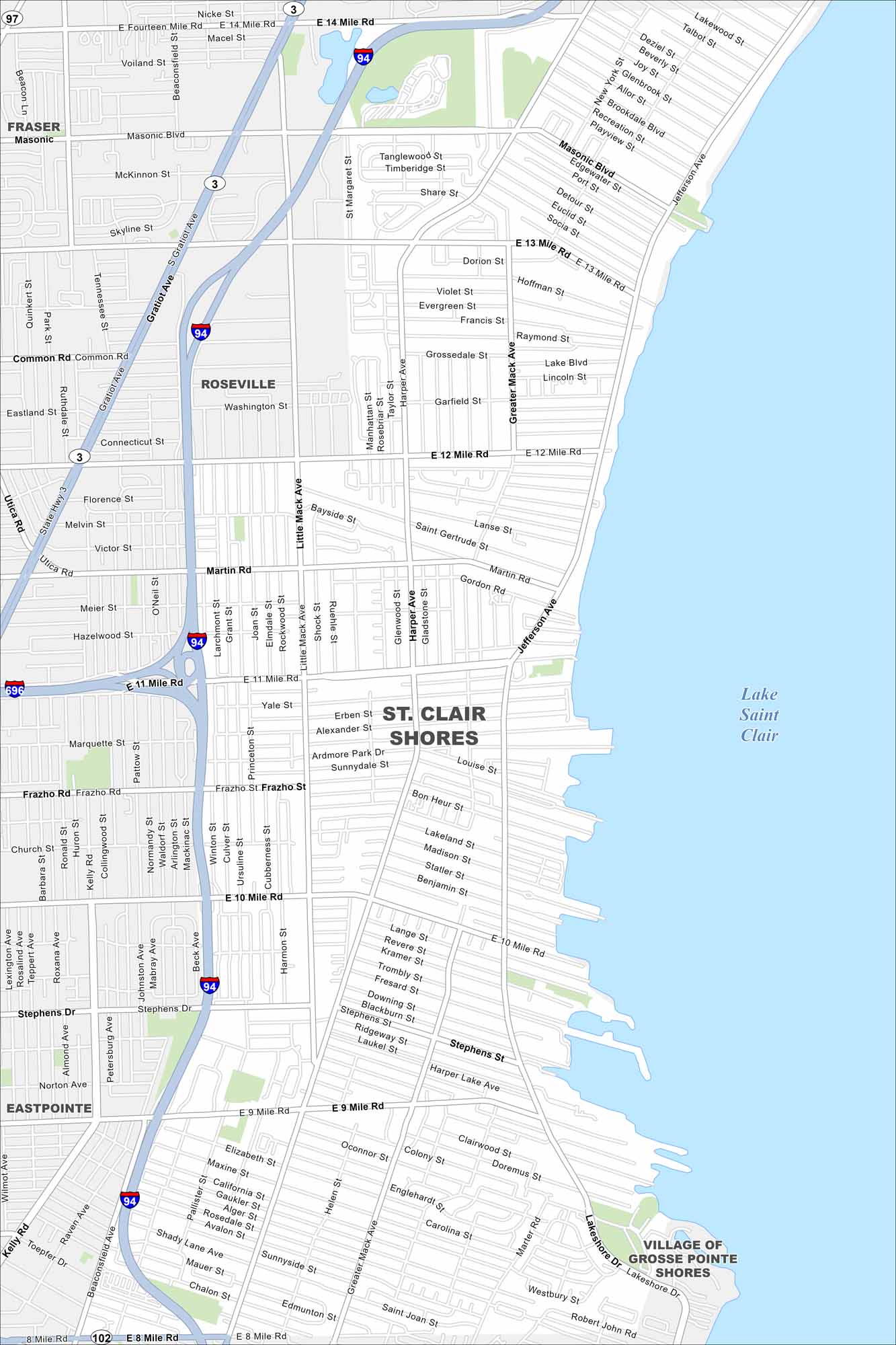
Map Information
On the Map
Interstates/Highways: I-94, I-696, State Hwy 3, State Hwy 102 Major Roads: 8 Mile Rd, 10 Mile Rd, 12 Mile Rd, 14 Mile Rd, Jefferson Ave, Harper Ave, Greater Mack Ave, Little Mack Ave, Gratiot Ave, Masonic Blvd, 13 Mile Rd, 9 Mile Rd, 11 Mile Rd, Common Rd, Marter Rd, Martin Rd, Stephens Dr, Frazho Rd Lakes and Reservoirs: Lake Saint Clair Nearby Communities: Fraser, Roseville, St. Clair Shores, Eastpointe, Village of Grosse Pointe ShoresMichigan State Maps
Get to know Michigan with our detailed maps


City Maps of Michigan
Check out our maps of Detroit and other cities in Michigan


