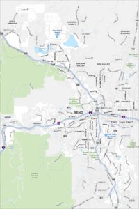
Map of Sparks, Nevada
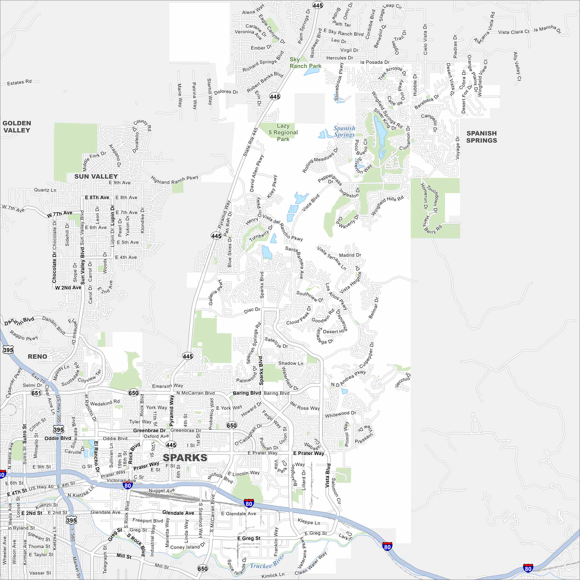
Sparks is right next to Reno, with its own busy downtown and marina. Our map shows you around neighborhoods, parks, and nearby highways.
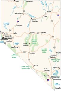
Map Information
On the Map
Interstates/Highways: I-80, State Rte 445, State Rte 650, State Rte 651 Major Roads: Pyramid Way, McCarran Blvd, Sparks Blvd, Vista Blvd, Rock Blvd, Oddie Blvd, Prater Way, Victorian Ave, Glendale Ave, Greg St, Greenbrae Dr, Baring Blvd, Disc Dr, Los Altos Pkwy, Wingfield Hills Rd, Eagle Canyon Dr, La Posada Dr, Sullivan Ln, El Rancho Dr, Kietzke Ln Major Rivers: Truckee River Parks and Preserves: Lazy 5 Regional Park, Sky Ranch Park Nearby Communities: Reno, Sun Valley, Golden Valley, Spanish SpringsNevada State Maps
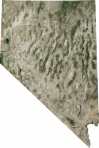
Click on one of our maps of the Silver State.


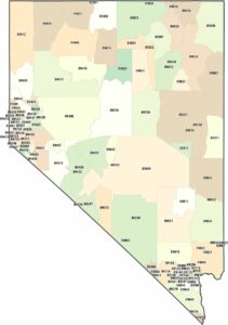
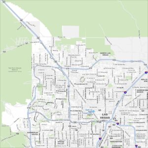
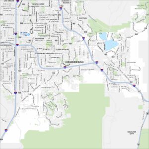
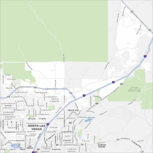
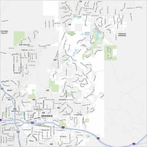
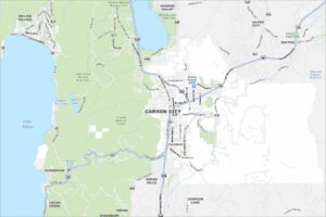
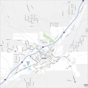
City Maps of Nevada
Explore cities in Nevada from desert to mountains