Map of Southgate, Michigan
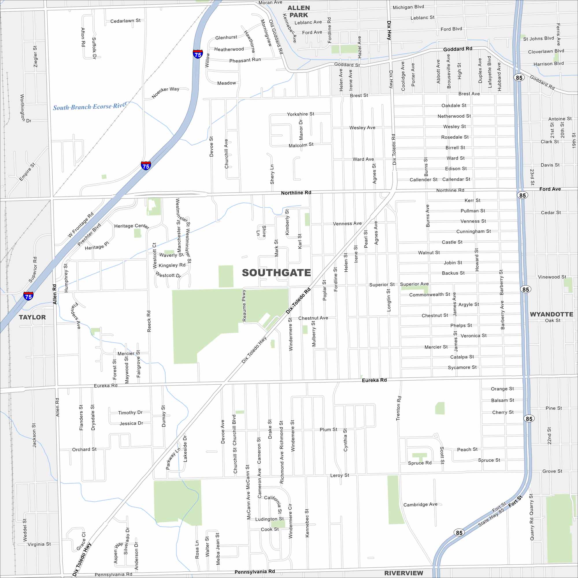
Our map of Southgate shows you around the Downriver area. It’s a community filled with schools, parks, and easy access to Detroit.
Map Information
On the Map
Interstates/Highways: I-75, State Hwy 85 Major Roads: Eureka Rd, Northline Rd, Pennsylvania Rd, Fort St, Dix Toledo Hwy, Allen Rd, Goddard Rd, Trenton Rd, Burns St, McCann Ave, Reeck Rd, Superior Ave, Leroy St, Brest Ave, 23rd St Major Rivers: South Branch Ecorse River Nearby Communities: Allen Park, Southgate, Wyandotte, Taylor, RiverviewMichigan State Maps
Get to know Michigan with our detailed maps


City Maps of Michigan
Check out our maps of Detroit and other cities in Michigan


