Map of South Miami, Florida
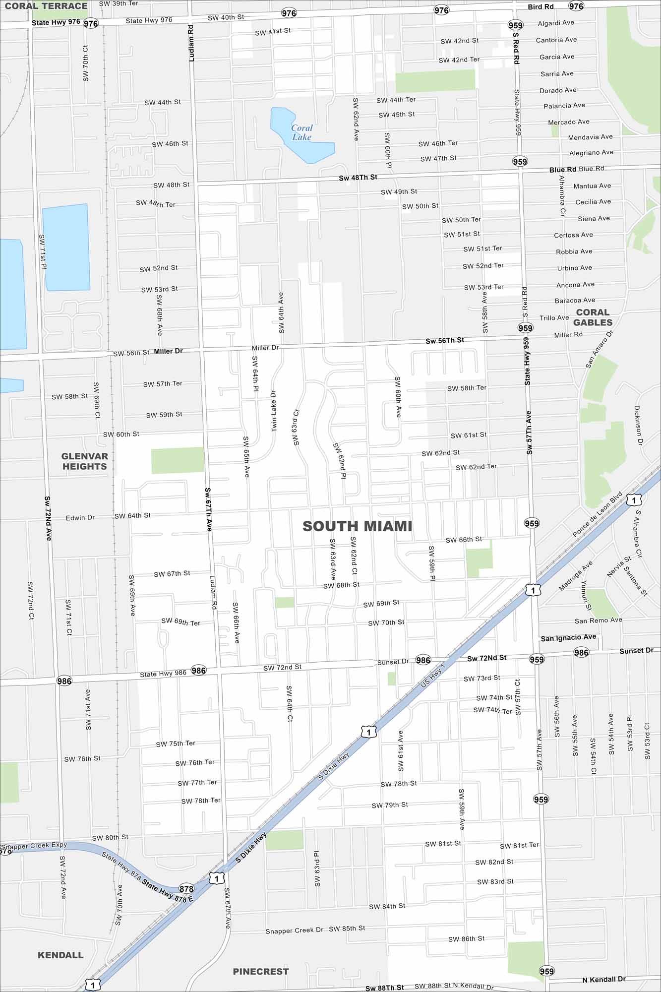
Get to know South Miami with our road map. The area features major highways/streets, local parks and a mix of neighborhoods. And the best part is you’re such a close distance to Miami.
Florida State Maps
Discover Florida through our state maps


Map Information
On the Map
Interstates/Highways: US Hwy 1, State Rte 976, State Rte 959, State Rte 986, State Rte 878, Dixie Hwy, Snapper Creek Expy Major Roads: Sunset Dr, Miller Dr, Bird Rd, Red Rd, Ludlam Rd, SW 72nd St, SW 40th St, SW 56th St, SW 88th St, SW 67th Ave, SW 62nd Ave, SW 57th Ave, San Remo Ave, Madruga Ave, Kendall Dr, Blue Rd, Ponce de Leon Blvd Lakes and Reservoirs: Coral Lake Nearby Communities: Coral Gables, Glenvar Heights, Pinecrest, Kendall, Coral TerraceFlorida City Maps
Chart your course through Miami and Florida’s cities


