Map of Sebring, Florida
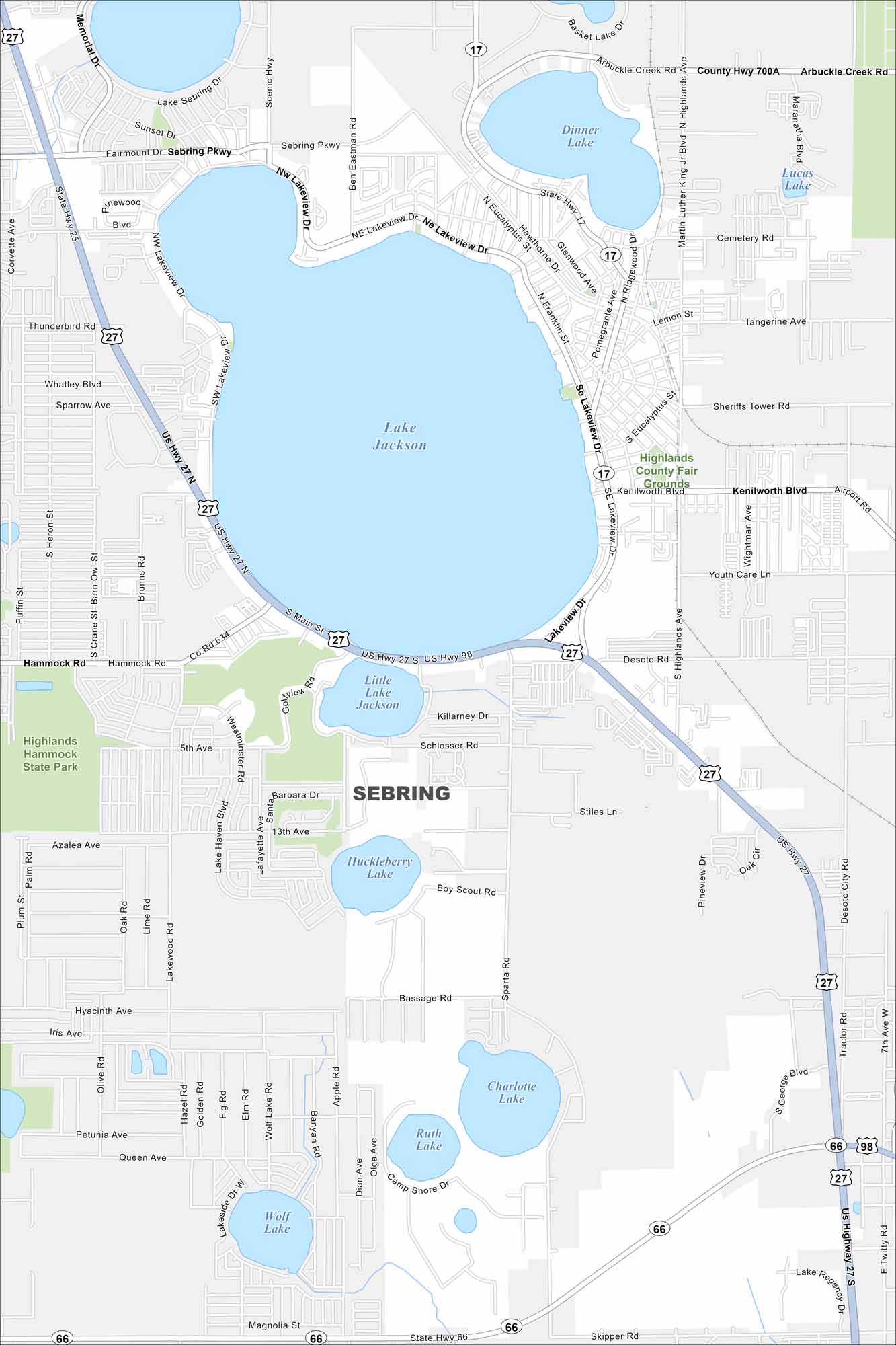
Sebring is famous for its racetrack and scenic lakes. Our map of Sebring, Florida shows how to get around the “City on the Circle”.
Florida State Maps
Discover Florida through our state maps


Map Information
On the Map
Interstates/Highways: US Hwy 27, US Hwy 98, State Rte 17, State Rte 25, State Rte 66 Major Roads: Sebring Pkwy, Kenilworth Blvd, Lakeview Dr, Main St, Highlands Ave, Arbuckle Creek Rd, Hammock Rd, Sparta Rd, Schumacher Rd, Desoto Rd, Airport Rd, Scenic Hwy, Memorial Dr, Golfview Rd, Lake Haven Blvd, Valerie Blvd, Youth Care Ln, Tangerine Ave, Cemetery Rd Lakes and Reservoirs: Lake Jackson, Dinner Lake, Little Lake Jackson, Huckleberry Lake, Charlotte Lake, Ruth Lake, Wolf Lake, Lucas Lake, Lake Sebring Parks and Preserves: Highlands Hammock State ParkFlorida City Maps
Chart your course through Miami and Florida’s cities


