Map of Satellite Beach, Florida
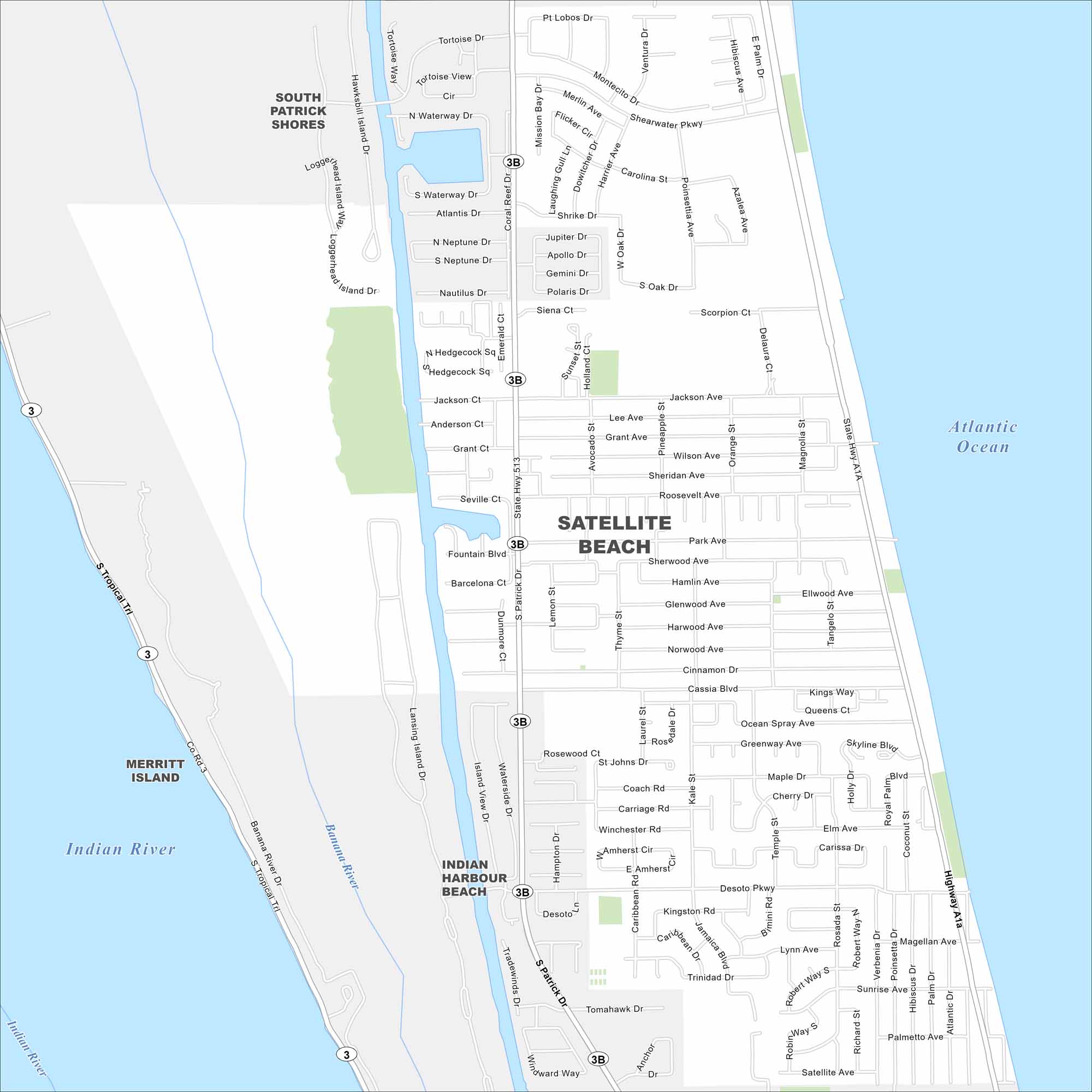
Our map of Satellite Beach shows the coastline, residential blocks, and easy routes along A1A. It’s a true barrier-island town, located along Florida’s Space Coast.
Florida State Maps
Discover Florida through our state maps


Map Information
On the Map
Interstates/Highways: State Rte A1A, State Rte 513 Major Roads: Patrick Dr, Highway A1A, South Cassia, Desoto, South Patrick Dr, Berkeley St, Sherwood, Roosevelt, Grant, Jackson, Magellan, Sunrise, Windward, Scorpion, Carolina, Ventura, Pt Lobos Lakes and Reservoirs: Atlantic Ocean, Indian River, Mission Bay Major Rivers: Banana RiverFlorida City Maps
Chart your course through Miami and Florida’s cities


