Map of San Luis, Arizona
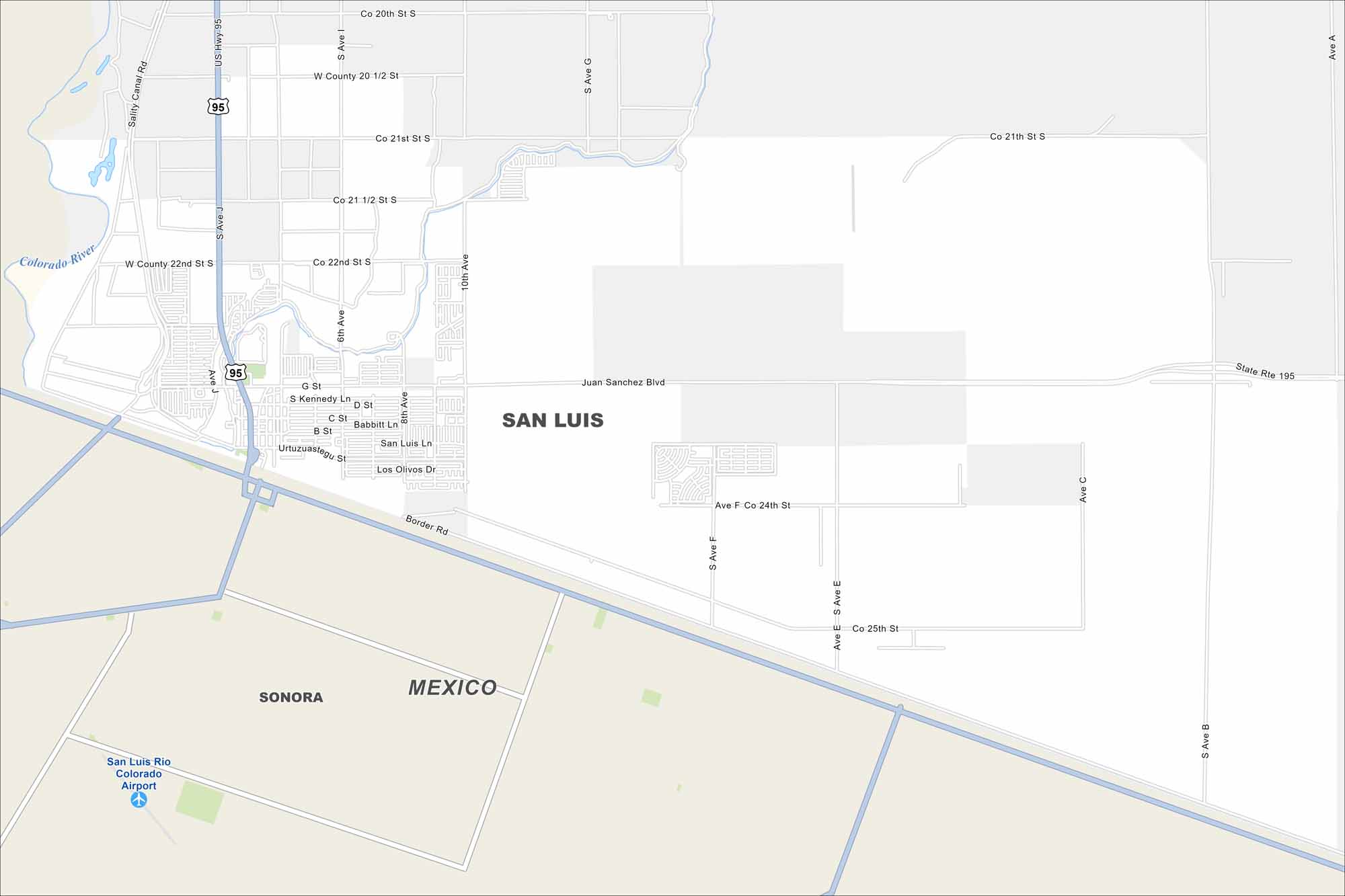
Check out our map of San Luis, Arizona, which is right across the border of Mexico. It shows the border crossing and nearby neighborhoods. Use it to explore the area with ease.
Arizona State Maps
Check out our Arizona state maps we’ve put together


Map Information
On the Map
Interstates/Highways: US Hwy 95, State Rte 195 Major Roads: Juan Sanchez Blvd, Border Rd, Co 22nd St, Co 21st St, Co 20th St, Co 24th St, Co 25th St, Babbitt Ln, San Luis Ln, Los Olivos Dr, Urtuzuastegu St, Kennedy Ln, Babbitt Ln, Ave J, Ave I, Ave G, Ave F, Ave E, Ave C, Ave B Airports: San Luis Rio Colorado Airport Rivers and Creeks: Colorado River Nearby Communities: Sonora, MexicoArizona City Maps
Here’s our full batch of Arizona city maps


