Map of Safety Harbor, Florida
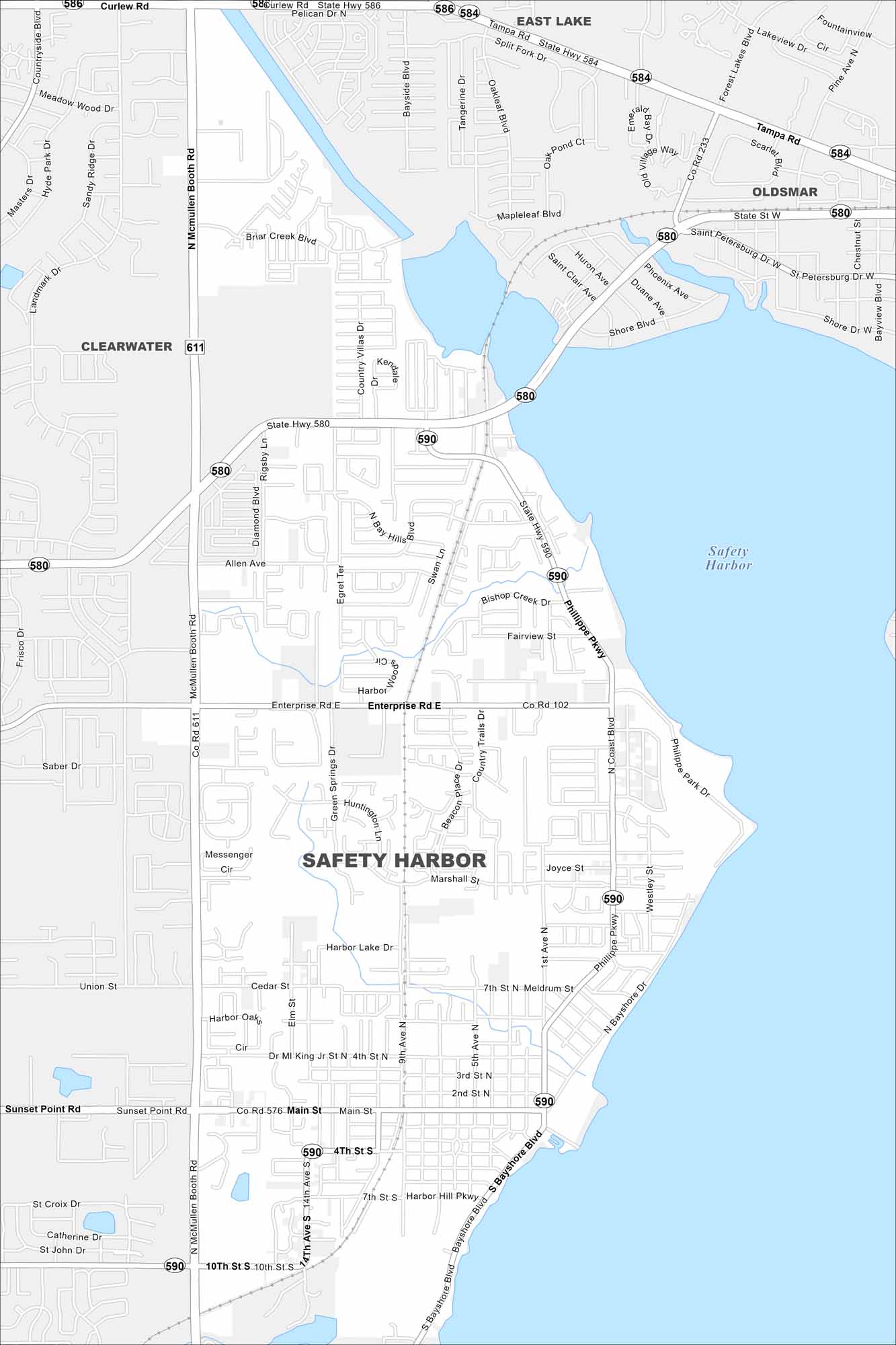
Get oriented with our Safety Harbor map. You’ll find the waterfront, small shops, and the famous springs. It’s definitely a cozy Gulf Coast town.
Florida State Maps
Discover Florida through our state maps


Map Information
On the Map
Interstates/Highways: State Rte 580, State Rte 590, State Rte 584, State Rte 586, State Rte 611, State Rte 576 Major Roads: McMullen Booth Rd, Philippe Pkwy, Enterprise Rd, Main St, 10th St S, Bayshore Blvd, 9th Ave, Mease Dr, Briar Creek Blvd, 14th Ave S, Harbor Lake Dr, Marshall St, Joyce St, 7th St N, 3rd St N, 2nd St N, ML King Jr St N, Allen Ave, Rigsby Ln, Country Trails Dr Lakes and Reservoirs: Safety Harbor Nearby Communities: East Lake, Oldsmar, ClearwaterFlorida City Maps
Chart your course through Miami and Florida’s cities


