Map of Royal Oak, Michigan
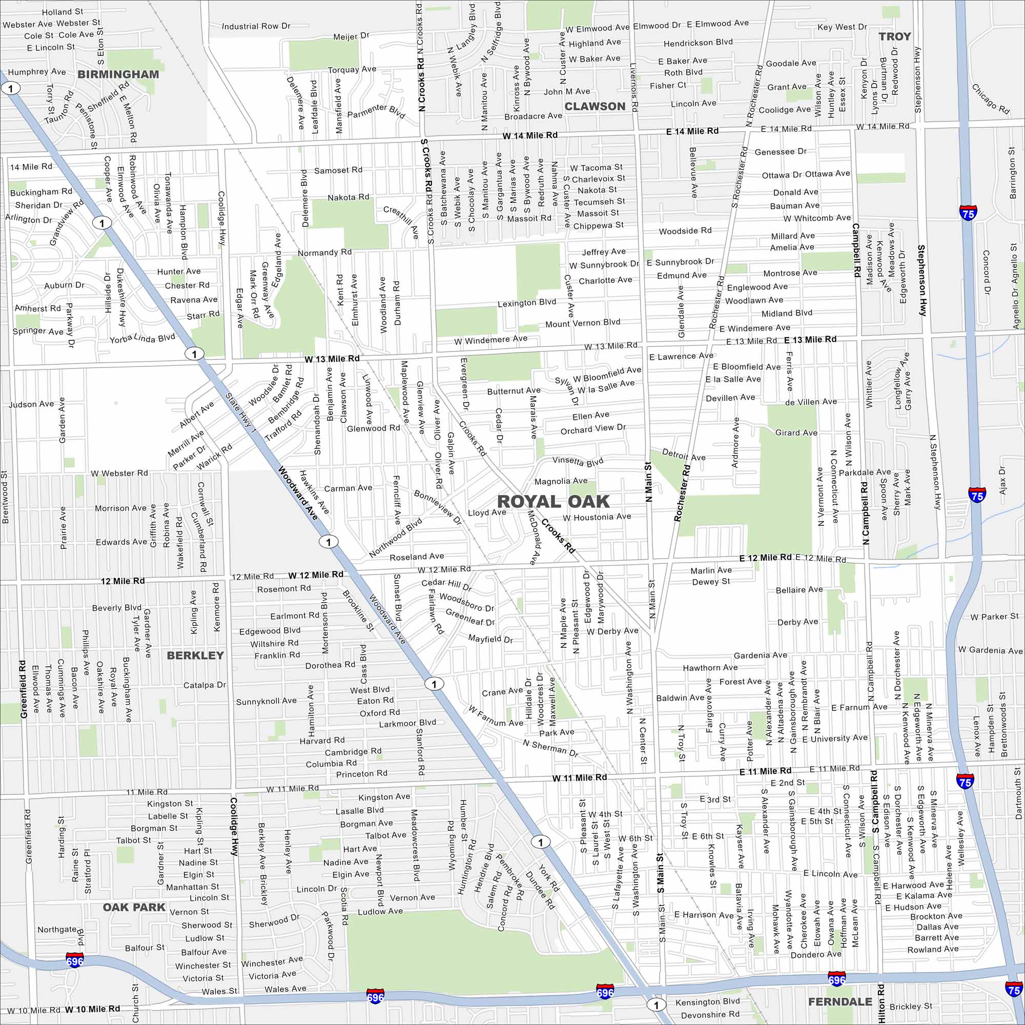
Our map of Royal Oak highlights the busy downtown and leafy neighborhoods. It shows how the city ties into greater Detroit. Use it to explore the vicinity.
Map Information
On the Map
Interstates/Highways: I-75, I-696, State Rte 1 Major Roads: Woodward Ave, 12 Mile Rd, 13 Mile Rd, Main St, Rochester Rd, Crooks Rd, Campbell Rd, 14 Mile Rd, 11 Mile Rd, 10 Mile Rd, Coolidge Hwy, Greenfield Rd, Normandy Rd, Webster Rd, Stephenson Hwy, Gardenia Ave, Catalpa Dr, Lincoln Ave, Farnum Ave, Fourth St Nearby Communities: Birmingham, Troy, Clawson, Madison Heights, Ferndale, Oak Park, BerkleyMichigan State Maps
Get to know Michigan with our detailed maps


City Maps of Michigan
Check out our maps of Detroit and other cities in Michigan


