Map of Roseville, Michigan
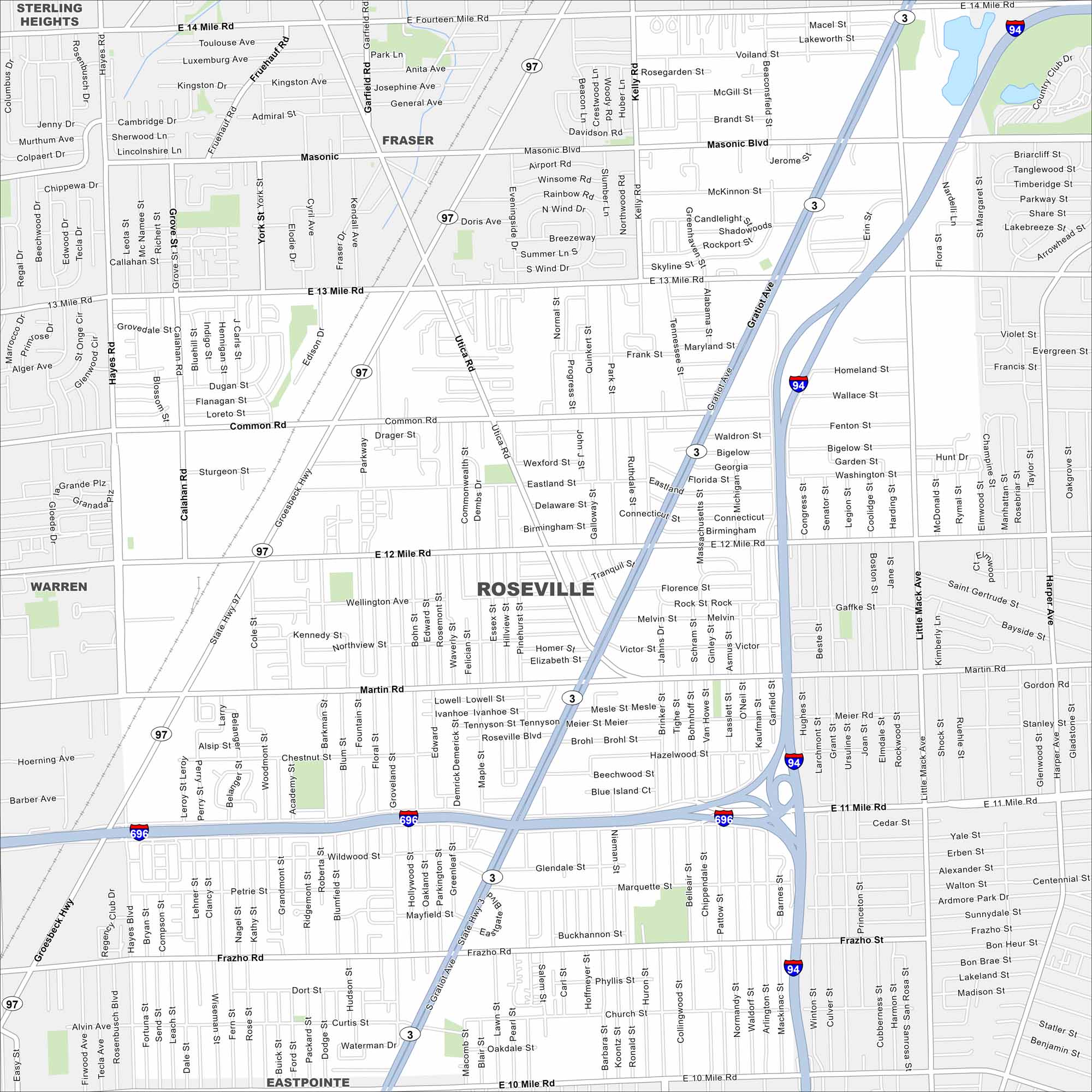
Our map of Roseville shows the grid of streets near Detroit. It highlights main highways, local parks, and quick routes out of the city. It’s a handy guide to move around town.
Map Information
On the Map
Interstates/Highways: I-94, I-696, State Rte 3, State Rte 97 Major Roads: Gratiot Ave, 12 Mile Rd, 13 Mile Rd, 14 Mile Rd, Common Rd, Martin Rd, Groesbeck Hwy, Masonic Blvd, 11 Mile Rd, 10 Mile Rd, Hayes Rd, Utica Rd, Little Mack Ave, Harper Ave, Frazho Rd, Kelly Rd, Beaconsfield St, Erin St, Flora St, 14 Mile Rd Nearby Communities: Sterling Heights, Fraser, Warren, EastpointeMichigan State Maps
Get to know Michigan with our detailed maps


City Maps of Michigan
Check out our maps of Detroit and other cities in Michigan


